Buck Creek, Indiana
| Buck Creek | |
|---|---|
| Census-designated place | |
|
A freight train passes through Buck Creek | |
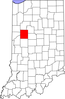 Tippecanoe County's location in Indiana | |
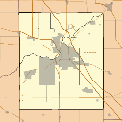 Buck Creek Location in Tippecanoe County | |
| Coordinates: 40°29′16″N 86°45′42″W / 40.48778°N 86.76167°WCoordinates: 40°29′16″N 86°45′42″W / 40.48778°N 86.76167°W | |
| Country | United States |
| State | Indiana |
| County | Tippecanoe |
| Township | Tippecanoe |
| Time zone | Eastern (EST) (UTC-5) |
| • Summer (DST) | EDT (UTC-4) |
| FIPS code | 18-08794[1] |
| GNIS feature ID | 449626 |

Buck Creek is an unincorporated census-designated place in Washington Township, Tippecanoe County, in the U.S. state of Indiana.[2]
It is part of the Lafayette, Indiana Metropolitan Statistical Area.
History
Buck Creek was originally called Transitville.[3]
A post office was established under the name Transitville in 1858, and was renamed Buck Creek in 1885. It still currently remains in operation.[4]
Geography
Buck Creek sits at the intersection of Tippecanoe County Road 750 East and a northeast-southwest Norfolk Southern railroad line between the cities of Lafayette and Delphi. Indiana State Road 25, which also connects the cities, passes the town two miles to the northwest. As part of the Hoosier Heartland Industrial Corridor project, the highway is being relocated to a path that closely follows the railway and will be within a quarter of a mile of town when completed in 2013.[5]
The creek for which Buck Creek is named originates 6.5 miles (10.5 km) miles east in Carroll County near Ockley, flows westward along the northern edge of town, and meets the Wabash River approximately 3 miles (4.8 km) to the west.
Landmarks
While small, the town does contain several different places of commerce. The grain elevator, which towers over the rest of town, is the main source of trade in town. The elevator is a complex of four separate buildings built along the railroad track that runs through the center of the town and it attracts farmers from the surrounding area.
Located on the north edge of town is the Buck Creek Community Center. The center is rentable and also is home to a playground and softball field. Across the street from the community center in the middle of cattle farm sits the old, abandoned high school which closed down in the 1950s, when the school integrated with East Tipp High School. In 1967, East Tipp became a middle school as William Henry Harrison High School opened. Buck Creek is also home to two separate churches: the Buck Creek United Methodist Church and the Buck Creek Baptist Church.
Services
Children attend Hershey Elementary School, East Tipp Middle School and William Henry Harrison High School. Fire protection and emergency services are provided by the Buck Creek Volunteer Fire Department, which hosts its annual fundraiser, the Buck Creek Fish Fry during the 4th Saturday of August.
References
- ↑ "American FactFinder". United States Census Bureau. Archived from the original on 2013-09-11. Retrieved 2008-01-31.
- ↑ "Buck Creek, Indiana". Geographic Names Information System. United States Geological Survey. Retrieved 2016-07-25.
- ↑ "USGS detail on Buck Creek - Variant Citation". Retrieved 2016-07-25.
- ↑ "Tippecanoe County". Jim Forte Postal History. Archived from the original on September 9, 2005. Retrieved July 25, 2016.
- ↑ "Hoosier Heartland Highway Website". Indiana Department of Transportation. Retrieved 2011-09-02.
External links
Municipalities and communities of Tippecanoe County, Indiana, United States | ||
|---|---|---|
| Cities | ||
| Towns | ||
| Townships | ||
| CDPs | ||
| Other unincorporated communities |
| |
| Ghost towns | ||
| Footnotes | ‡This populated place also has portions in an adjacent county or counties | |