Tullig, County Clare
| Tullig Túllaig | |
|---|---|
| Village | |
 Tullig Location in Ireland | |
| Coordinates: 52°36′54″N 9°46′55″W / 52.614882°N 9.781845°WCoordinates: 52°36′54″N 9°46′55″W / 52.614882°N 9.781845°W | |
| Country |
|
| Province | Munster |
| County | County Clare |
| Time zone | WET (UTC+0) |
| • Summer (DST) | IST (WEST) (UTC-1) |
Tullig (Irish: Túllaig, meaning "a hill")[1] is a townland and small village located in the Loop Head peninsula in County Clare, Ireland.
It was described in the 1845 Parliamentary Gazeteer as:
| “ | A village in the parish of Kilballyowen, barony of Moyarta, Co. Clare, Munster. It is situated amidst a bleak district of country, about a mile from the nearest part of the coast, 3 miles west-north-west of Carrigaholt, and 6¼ south-west of Kilkee. Area, 8 acres. Pop., in 1841, 269. Houses 50. | ” |
The village was virtually destroyed by the Great Famine (Ireland).[3]
References
- ↑ www.askaboutireland.ie
- ↑ The Parliamentary Gazeteer of Ireland, 1845
- ↑ Clare History and Society. Templeogue, Dunblin 6: Geography Publications. ISBN 978-0-906602-393. p. 243
Places in County Clare | ||
|---|---|---|
| Towns | 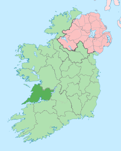 | |
| Villages |
| |
| Regions | ||
| Islands | ||
| ||
This article is issued from Wikipedia - version of the 3/17/2015. The text is available under the Creative Commons Attribution/Share Alike but additional terms may apply for the media files.