Mound House (Greene County, Illinois)
|
Mound House Site | |
  | |
| Location | Eastern bank of the Illinois River, ½ mile west of the end of 600E |
|---|---|
| Nearest city | Hillview, Illinois |
| Coordinates | 39°29′36″N 90°35′01″W / 39.49333°N 90.58361°WCoordinates: 39°29′36″N 90°35′01″W / 39.49333°N 90.58361°W |
| Area | 10.5 acres (4.2 ha) |
| NRHP Reference # | 78001148[1] |
| Added to NRHP | September 1, 1978 |
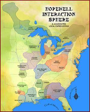
The Mound House is an archeological site located in Greene County, Illinois in the Illinois River floodplain. The site is a multicomponent site; however, the mounds were constructed during the Middle Woodland and are associated with the Havana Hopewell culture. The mound center has two identified mounds.[2]
The site received its name because the previous landowner, a farmer, built a house on Mound 1, the largest mound. Since then the house has been removed and the land is owned by the Center for American Archeology.[3]
The site was added to the National Register of Historic Places on September 1, 1978.[1]
See also
References
- 1 2 National Park Service (2010-07-09). "National Register Information System". National Register of Historic Places. National Park Service.
- ↑ Maruszak, Kathleen. National Register of Historic Places Inventory/Nomination: Mound House Site. National Park Service, 1977-07, 4.
- ↑ "Mound House Site". Center for American Archeology. Retrieved November 16, 2013.
This article is issued from Wikipedia - version of the 11/25/2016. The text is available under the Creative Commons Attribution/Share Alike but additional terms may apply for the media files.