Naples Archeological District
|
Naples Archeological District | |
  | |
| Nearest city | Naples, Illinois |
|---|---|
| Coordinates | 39°44′18″N 90°37′06″W / 39.73833°N 90.61833°WCoordinates: 39°44′18″N 90°37′06″W / 39.73833°N 90.61833°W |
| Area | 1,020 acres (410 ha) |
| NRHP Reference # | 79000869[1] |
| Added to NRHP | December 22, 1979 |
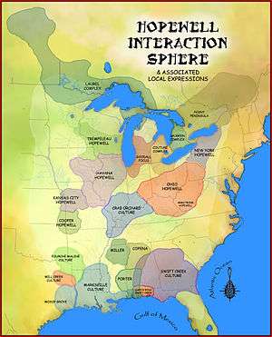
The Naples Archeological District is an archaeological district located on the east bank of the Illinois River at Naples, Illinois. The district includes sixteen archaeological sites which were primarily occupied during the Woodland period. The area was most active during the Middle Woodland period, when it served as an important trade site in the Hopewell exchange system. Over a dozen mounds are included in the district; these mounds mainly served as burial sites, though a number were used to store refuse. The area also includes several large village sites, as Naples was a habitation site in addition to a trade center.[2]
The district was added to the National Register of Historic Places on December 22, 1979.[1]
References
- 1 2 National Park Service (2010-07-09). "National Register Information System". National Register of Historic Places. National Park Service.
- ↑ Maruszak, Kathleen A. National Register of Historic Places Inventory - Nomination Form: Naples Archeological District. National Park Service, 1978-02.
| Topics | |
|---|---|
| Lists by states |
|
| Lists by insular areas | |
| Lists by associated states | |
| Other areas | |
| |
This article is issued from Wikipedia - version of the 12/1/2016. The text is available under the Creative Commons Attribution/Share Alike but additional terms may apply for the media files.