K'usilluni
| K'usilluni | |
|---|---|
 K'usilluni Location in Bolivia | |
| Highest point | |
| Elevation | 4,600 m (15,100 ft) |
| Coordinates | 14°58′27″S 68°55′56″W / 14.97417°S 68.93222°WCoordinates: 14°58′27″S 68°55′56″W / 14.97417°S 68.93222°W |
| Geography | |
| Location |
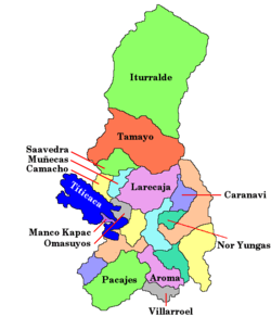
Bolivia, La Paz Department |
| Parent range | Andes, Apolobamba |
K'usilluni (Aymara k'usillu monkey,[1][2] -ni a suffix to indicate ownership, "the one with a monkey (or monkeys)", also spelled Kusilluni) is a mountain in the eastern extensions of the Apolobamba mountain range in Bolivia, about 4,600 metres (15,092 ft) high. It is situated in the La Paz Department, Bautista Saavedra Province, Curva Municipality. K'usilluni lies northeast of the mountain Qutañani.[3]
References
- ↑ Radio San Gabriel, "Instituto Radiofonico de Promoción Aymara" (IRPA) 1993, Republicado por Instituto de las Lenguas y Literaturas Andinas-Amazónicas (ILLLA-A) 2011, Transcripción del Vocabulario de la Lengua Aymara, P. Ludovico Bertonio 1612 (Spanish-Aymara-Aymara-Spanish dictionary)
- ↑ Teodoro Marka M., Curso Basico de Lengua Aymara, Nociones Basicas de Lengua Aymara
- ↑ "Curva". ine.gob.bo. Retrieved December 11, 2014.
This article is issued from Wikipedia - version of the 12/6/2015. The text is available under the Creative Commons Attribution/Share Alike but additional terms may apply for the media files.