Irupana Municipality
| Irupana | |
|---|---|
| Municipality | |
|
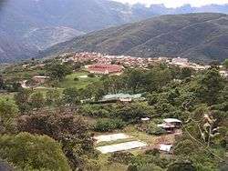
Irupana | |
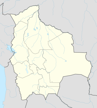 Irupana Location within Bolivia | |
| Coordinates: BO 16°30′S 67°30′W / 16.500°S 67.500°W | |
| Country |
|
| Department | La Paz Department |
| Province | Sud Yungas Province |
| Seat | Irupana |
| Government | |
| • Mayor | Clemente Mamani Condorena (2007) |
| Elevation | 5,900 ft (1,800 m) |
| Population (2001) | |
| • Total | 11,383 |
| Time zone | -4 (UTC-4) |

Irupana Municipality or Villa de Lanza Municipality is the second municipal section of the Sud Yungas Province in the La Paz Department, Bolivia. Its seat is Irupana.
Geography
The Cordillera Real traverses the municipality. The highest peaks of the municipality is Illimani at 6,438 m (21,122 ft) above sea level. Other mountains are listed below:[1][2][3]
- Allpaqani
- Churu
- Ch'iyar Qullu
- Ch'uxña Pata
- K'illimani
- K'uchu Munti
- K'usill Willk'i
- Layqa Qullu
- Llaytuwani
- Link'u Link'u
- Mururata
- Pararani
- Pupusani
- Qaqinkura
- Qutapata
- Thiya Quta
- Waychuni
- Wisk'achani
Subdivision
Irupana Municipality is divided into six cantons.
| Canton | Inhabitants (2001)[4] | Seat | Inhabitants (2001) |
|---|---|---|---|
| Irupana | 4,465 | Irupana | 1,882 |
| Lambate | 2,693 | Lambate | 347 |
| Laza | 800 | Laza | 164 |
| Taca | 1,080 | Taca | 183 |
| Chicaloma | 1,177 | Chicaloma | 634 |
| Victorio Lanza | 1,168 | Victorio Lanza | 181 |
See also
References
- ↑ Bolivian IGM map 1:50,000 Araca 6043-I
- ↑ Bolivian IGM map 1:50,000 Lambate 6044-II
- ↑ "Irupana". INE, Bolivia. Retrieved March 18, 2016.
- ↑ www.ine.gob.bo
External links
Coordinates: 16°30′S 67°30′W / 16.5°S 67.5°W
This article is issued from Wikipedia - version of the 3/18/2016. The text is available under the Creative Commons Attribution/Share Alike but additional terms may apply for the media files.