Fluhr, Merced County, California
| Fluhr | |
|---|---|
| Unincorporated community | |
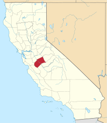
 Fluhr  Fluhr Location in California | |
| Coordinates: 37°21′46″N 120°34′40″W / 37.36278°N 120.57778°WCoordinates: 37°21′46″N 120°34′40″W / 37.36278°N 120.57778°W | |
| Country | United States |
| State | California |
| County | Merced County |
| Elevation[1] | 174 ft (53 m) |
Fluhr is an unincorporated community in Merced County, California.[1] It is located on the Atchison, Topeka and Santa Fe Railroad 2 miles (3.2 km) east-northeast of Atwater,[2] at an elevation of 174 feet (53 m).[1]
References
This article is issued from Wikipedia - version of the 7/5/2016. The text is available under the Creative Commons Attribution/Share Alike but additional terms may apply for the media files.