Buna, Kenya
Not to be confused with Buna.
| Buna | |
|---|---|
| Populated place | |
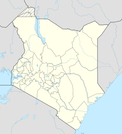 Buna Location in Kenya | |
| Coordinates: 2°47′19″N 39°30′53″E / 2.78861°N 39.51472°E | |
| Country |
|
| County | Wajir County |
| Elevation | 1,200 m (3,900 ft) |
| Area code(s) | 46 |
| Climate | BSh |
Buna is a small town in Wajir County, situated in the North Eastern Province in Kenya. Nearby towns and places include Ajao and Bute Helu.
History
Buna historically is remembered as the deepest point of penetration by the Italian Army during World War II in Kenya.[1] The city was occupied in July 1940 and an Italian garrison remained there until January 1941[2]
Climate
| Climate data for Buna | |||||||||||||
|---|---|---|---|---|---|---|---|---|---|---|---|---|---|
| Month | Jan | Feb | Mar | Apr | May | Jun | Jul | Aug | Sep | Oct | Nov | Dec | Year |
| Average high °C (°F) | 35 (95) |
36 (96) |
36 (96) |
34 (94) |
33 (92) |
32 (90) |
31 (88) |
32 (89) |
33 (91) |
33 (92) |
33 (91) |
33 (92) |
33 (92) |
| Average low °C (°F) | 21 (70) |
22 (72) |
23 (74) |
24 (75) |
23 (73) |
21 (70) |
21 (69) |
21 (69) |
21 (70) |
22 (71) |
22 (71) |
23 (73) |
22 (71) |
| Average precipitation mm (inches) | 5 (0.2) |
13 (0.5) |
20 (0.8) |
69 (2.7) |
36 (1.4) |
0 (0) |
5 (0.2) |
3 (0.1) |
5 (0.2) |
30 (1) |
41 (1.6) |
23 (0.9) |
241 (9.5) |
| Source: Weatherbase [3] | |||||||||||||
See also
References
- ↑ Map showing in detail the Buna occupation (within a green line)
- ↑ Arrigo Petacco. La nostra guerra 1940-1945. L'avventura bellica tra bugie e verità. Mondadori. Milano, 2006. (pag. 30)
- ↑ "Weatherbase: Historical Weather for Wajir, Kenya". Weatherbase. 2014. Retrieved on September 27, 2014.
External links
Coordinates: 1°45′00″N 40°03′00″E / 1.75000°N 40.0500°E
This article is issued from Wikipedia - version of the 12/1/2016. The text is available under the Creative Commons Attribution/Share Alike but additional terms may apply for the media files.