Raxaul Airport
| Raxaul Airport रक्सौल हवाई अड्डा Raksaula Havāī Aḍḍā | |||||||||||
|---|---|---|---|---|---|---|---|---|---|---|---|
| IATA: none – ICAO: VERL | |||||||||||
| Summary | |||||||||||
| Airport type | Public | ||||||||||
| Operator | Airports Authority of India | ||||||||||
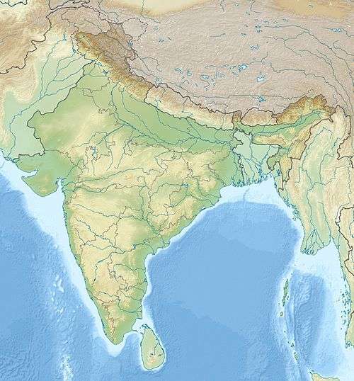
| Location | Raxaul, Bihar, India | ||||||||||
| Elevation AMSL | 260 ft / 79 m | ||||||||||
| Coordinates | 26°59′47″N 084°49′14″E / 26.99639°N 84.82056°ECoordinates: 26°59′47″N 084°49′14″E / 26.99639°N 84.82056°E | ||||||||||
| Map | |||||||||||
 VERL Airport in India | |||||||||||
| Runways | |||||||||||
| |||||||||||
Raxaul Airport (ICAO: VERL) is located at Raxaul in the state of Bihar, India. It was established after the Sino-Indian War of 1962, when it served as an emergency landing ground for the Indian Army.[1] The Airports Authority of India (AAI) that owns the airport has undertaken a pre-feasibility study at the airport to upgrade the airport to handle ATR-72 aircraft. A draft Master Plan highlighting a requirement of an additional 121 acres of land has been submitted to the State Government.[2]
References
- ↑ "MP push to airport renovation". The Telegraph. 13 December 2012. Retrieved 30 December 2013.
- ↑ "Proposal to Operationalise Raxaul Airport". Press Information Bureau. 10 December 2013. Retrieved 30 December 2013.
- Raxaul Airport at Airports Authority of India
- Airport information for VERL at Great Circle Mapper. Source: GCM photogrammetry.
External links
This article is issued from Wikipedia - version of the 11/8/2016. The text is available under the Creative Commons Attribution/Share Alike but additional terms may apply for the media files.