Balurghat Airport
| Balurghat Airport বালুরঘাট বিমানবন্দর | |||||||||||
|---|---|---|---|---|---|---|---|---|---|---|---|
| IATA: RGH – ICAO: VEBG | |||||||||||
| Summary | |||||||||||
| Airport type | Public | ||||||||||
| Operator | Airports Authority of India | ||||||||||
| Location | Balurghat, West Bengal, India | ||||||||||
| Elevation AMSL | 78 ft / 24 m | ||||||||||
| Coordinates | 25°15′42″N 88°47′44″E / 25.26167°N 88.79556°ECoordinates: 25°15′42″N 88°47′44″E / 25.26167°N 88.79556°E | ||||||||||
| Map | |||||||||||
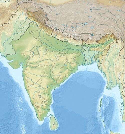 Balurghat Location of airport in India | |||||||||||
| Runways | |||||||||||
| |||||||||||
Balurghat Airport (IATA: RGH, ICAO: VEBG) is located 6 km (4 mi) from Balurghat, a city in West Bengal, India.[1] The airport is currently not in operation.[3]
Facilities
The airport covers an area of 78 acres (32 ha) at an elevation of 78 feet (24 m) above mean sea level. It has one runway designated 9/27 with a paved surface measuring 3,600 by 100 feet (1,097 m × 30 m).[1]
Airlines and destinations
No commercial services at this time.
See also
References
- 1 2 3 "Balurghat Airport". Airports Authority of India.
- ↑ Airport information for Balurghat, India (VEBG / RGH) at Great Circle Mapper.
- ↑ "Deal with Changi on Durgapur airport". The Telegraph. February 28, 2008.
However, there are over 40 non-operational airports under the authority (Airports Authority of India). In Bengal, there are two of them — in Malda and Balurghat.
External links
- Balurghat Airport - India Airport Global Website
- Accident history for RGH at Aviation Safety Network
This article is issued from Wikipedia - version of the 10/24/2016. The text is available under the Creative Commons Attribution/Share Alike but additional terms may apply for the media files.