Gheringhap, Victoria
| Gheringhap Victoria | |||||||||||||
|---|---|---|---|---|---|---|---|---|---|---|---|---|---|
 Gheringhap | |||||||||||||
| Coordinates | 38°05′0″S 144°14′0″E / 38.08333°S 144.23333°ECoordinates: 38°05′0″S 144°14′0″E / 38.08333°S 144.23333°E | ||||||||||||
| Postcode(s) | 3331 | ||||||||||||
| Location | |||||||||||||
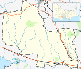
| LGA(s) | Golden Plains Shire | ||||||||||||
| State electorate(s) | Polwarth | ||||||||||||
| Federal Division(s) | Corangamite | ||||||||||||
| |||||||||||||
Gheringhap is a rural township near Geelong, Victoria, Australia, located approximately 83 km southwest of Melbourne, between Geelong and Meredith on the Midland Highway. Gheringhap is located in the Golden Plains Shire.
Gheringhap Post Office opened on 1 April 1869 and closed in 1968.[1] The town is located at the junction of the Geelong-Ballarat railway and the Western standard gauge railway which connects Melbourne and Adelaide.[2] Railpage Australia operates a "Railcam" at Gheringhap, which photographs freight and passenger train movements.[3]
References
- ↑ Premier Postal History. "Post Office List". Retrieved 2008-04-11.
- ↑ "Rail Geelong - Gallery - Gheringhap". www.railgeelong.com. Retrieved 2008-11-10.
- ↑ "Railpage Gheringhap Loop Railcam Project". www.railpage.com.au. Retrieved 2013-11-25.
External links
This article is issued from Wikipedia - version of the 11/15/2016. The text is available under the Creative Commons Attribution/Share Alike but additional terms may apply for the media files.