Scarsdale, Victoria
| Scarsdale Victoria | |||||||||||||
|---|---|---|---|---|---|---|---|---|---|---|---|---|---|
 Scarsdale | |||||||||||||
| Coordinates | 37°40′42″S 143°40′34″E / 37.67833°S 143.67611°ECoordinates: 37°40′42″S 143°40′34″E / 37.67833°S 143.67611°E | ||||||||||||
| Postcode(s) | 3351 | ||||||||||||
| Location | |||||||||||||
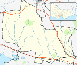
| LGA(s) | Golden Plains Shire | ||||||||||||
| State electorate(s) | Buninyong | ||||||||||||
| Federal Division(s) | Corangamite | ||||||||||||
| |||||||||||||
Scarsdale is a small town in rural Victoria, Australia, and approximately 25km south west of Ballarat, with a few community facilities including a primary school and a kindergarten. It is situated in the north-western part of Golden Plains Shire, and is primarily an agricultural community.
This article is issued from Wikipedia - version of the 8/20/2015. The text is available under the Creative Commons Attribution/Share Alike but additional terms may apply for the media files.