Chuqi Tanka
| Chuqi Tanka | |
|---|---|
 Chuqi Tanka (on the right) beside Ch'uñawi (the highest mountain on the right) as seen from the La Cumbre mountain pass in the southwest | |
| Highest point | |
| Elevation | 4,686 m (15,374 ft) [1] |
| Coordinates | 16°18′25″S 67°57′43″W / 16.30694°S 67.96194°WCoordinates: 16°18′25″S 67°57′43″W / 16.30694°S 67.96194°W |
| Geography | |
 Chuqi Tanka Location within Bolivia | |
| Location |
Bolivia, La Paz Department |
| Parent range | Andes |
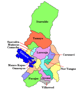
Chuqi Tanka (Aymara chuqi gold, tanka hat or biretta,[2] "gold hat", also spelled Choquetanga) is a 4,686-metre-high (15,374 ft) mountain in the Andes of Bolivia. It is located in the La Paz Department, Murillo Province, La Paz Municipality, near the border with the Coroico Municipality of the Nor Yungas Province. Chuqi Tanka lies east of Ch'uñawi.[1][3]
References
- 1 2 Bolivian IGM map 1:50,000 Unduavi 6045-III
- ↑ Radio San Gabriel, "Instituto Radiofonico de Promoción Aymara" (IRPA) 1993, Republicado por Instituto de las Lenguas y Literaturas Andinas-Amazónicas (ILLLA-A) 2011, Transcripción del Vocabulario de la Lengua Aymara, P. Ludovico Bertonio 1612 (Spanish-Aymara-Aymara-Spanish dictionary)
- ↑ "La Paz". INE, Bolivia. Retrieved February 13, 2016.
This article is issued from Wikipedia - version of the 5/5/2016. The text is available under the Creative Commons Attribution/Share Alike but additional terms may apply for the media files.