Wootton, Staffordshire
| Wootton | |
 Stone houses in Wootton |
|
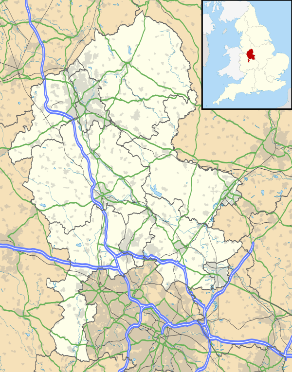 Wootton |
|
| Population | 154 (2011)[1] |
|---|---|
| OS grid reference | SK1055345120 |
| Shire county | Staffordshire |
| Region | West Midlands |
| Country | England |
| Sovereign state | United Kingdom |
| Post town | Ashbourne |
| Postcode district | DE6 |
| Police | Staffordshire |
| Fire | Staffordshire |
| Ambulance | West Midlands |
| EU Parliament | West Midlands |
| UK Parliament | Staffordshire Moorlands |
|
|
Coordinates: 53°00′12″N 1°50′39″W / 53.0033°N 1.8442°W
Wootton is a village and civil parish in Staffordshire, England.[2] The village is situated approximately 20 miles (30 km) east from Stoke-on-Trent and 20 miles (30 km) northwest from Derby. In 1870-72 John Marius Wilson's Imperial Gazetteer described Wootton as
WOOTTON, a township in Ellastone parish, Stafford; 4½ miles W by S of Ashborne. Real property, £2,061. Pop., 185. Houses, 40. W. Hall was built by Inigo Jones; was the residence of Rousseau in 1766; and belongs now to the Bromleys.[3][4]
History
Toponymy
The name Wootton comes from the Old English wudu meaning wood and tūn meaning an enclosure; farmstead; village or estate. This translates to Wood Farm/Settlement. [5][6]
Industry
In early reports Wootton was predominately a farming village, with over 60% of males engaged in agriculture.[7][8] Even to this day there remains a large farming culture, with still around 25% of the working population engaged in agriculture.[9] The rest of the population are spread out between working in service industries or in managerial/professional occupations.
Notable Establishments
- Wootton Lodge - The privately owned 17th century house is a grade I listed building in the parish. During the English Civil War the house was held for the Crown and was badly damaged during a Parliamentary siege. It was restored in about 1700 when a flight of balustraded entrance steps was added.[10]
- Alton Towers - Popular holiday theme park Alton Towers is located 4 miles (6.5 km) away from Wootton. The park attracts 2.7 million visitors from all over the globe annually.[11] The resort encloses an area known as "Slain Hollow", reputed to be the site of a battle between King Ceolred of Mercia and King Ina of Wessex in 716 AD.[12]
Transport
Wootton is located about 1.5 miles off the B5032 Uttoxeter to Ashbourne road, and is served by the 409 bus service between those two towns, which stops at Ellastone village.[13] The nearest railway station is in Uttoxeter around 8 miles (12.5 km) away which has regular trains to Crewe and Derby.[14]
References
- ↑ "Civil Parish population 2011". Retrieved 13 December 2015.
- ↑ "Wootton". Staffordshire Place Guide. Staffordshire County Council. Retrieved 12 April 2011.
- ↑ University of Portsmouth. "History of Wootton in East Staffordshire". Retrieved 3 May 2012.
- ↑ John Marius Wilson (1872). Imperial Gazetteer of England and Wales. Retrieved 3 May 2012.
- ↑ Watts (2004). Cambridge Dictionary of English Place-names. Cambridge University Press. p. 669. Retrieved 24 April 2012.
- ↑ University of Nottingham. "Key to English Place-names". Retrieved 24 April 2012.
- ↑ University of Portsmouth. "Vision of Britain 1881 Census Reports". Retrieved 27 April 2012.
- ↑ 1881 Census of England and Wales. Tables: Ages, Condition as to Marriage, Occupations and Birthplaces of people, Table 10: " Occupations of Males and Females in the Division and its Registration Counties". 1883. Retrieved 27 April 2012.
- ↑ Neighbourhood Statistics. "2001 Census: Key Statistics - Parish Profile - Work and Qualifications". Retrieved 27 April 2007.
- ↑ Historic England. "Wootton Lodge (406072)". Images of England.
- ↑ Themed Entertainment Association; Economics Research Associates (2011). "Attraction Attendance Report" (PDF). Park World. Retrieved 2 May 2012.
- ↑ "Anglo-Saxon Mercia: some facts and some legends". BBC. 16 April 2011. Retrieved 2 May 2012.
- ↑ Arriva. "Arrive Bus timetable - service 409" (PDF). Retrieved 13 January 2013.
- ↑ National Rail Enquiries. "Departure Boards at Uttoxeter Station". Retrieved 13 January 2013.