Walker Island (Northern Tasmania)
This article is about the island in northern Tasmania. For the island in southern Tasmania, see Walker Island (Southern Tasmania).
For other places with the same name, see Walker Island.
|
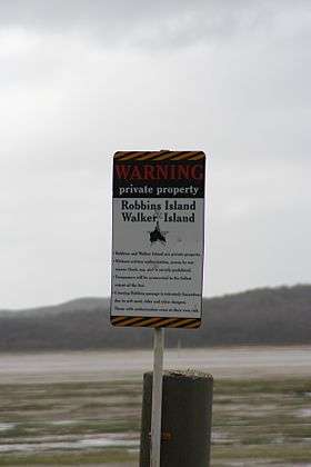
Sign at crossing to Robbins and Walker Islands. | |
 Walker Island Location of Walker Island in the Bass Strait | |
| Geography | |
|---|---|
| Location | Bass Strait |
| Coordinates | 40°36′00″S 144°55′48″E / 40.60000°S 144.93000°ECoordinates: 40°36′00″S 144°55′48″E / 40.60000°S 144.93000°E |
| Area | 700 ha (1,700 acres)[1] |
| Administration | |
|
Australia | |
| State | Tasmania |
| LGA | Circular Head Council |
The Walker Island is a 700-hectare (1,700-acre) island located in Bass Strait, lying off the northwest coast of Tasmania, Australia.[2] The island, separated from the Tasmanian mainland by a highly tidal area known as Robbins Passage,[3] lies north of the adjacent Robbins Island.[4][5]
See also
References
- ↑ Hudson, Sarah (29 November 2013). "Hammond brothers turn the tide". The Weekly Times. Retrieved 5 July 2016.
- ↑ "Walker Island (TAS)". Gazetteer of Australia online. Geoscience Australia, Australian Government.
- ↑ "Scalefish Fishery Management Plan Review Information Paper" (PDF). Tasmanian Scalefish Fishery Management Plan. State Library of Tasmania. March 2004. Retrieved 9 January 2010.
- ↑ "False Killer Whale stranding, Walker's Island, Tasmania". National Whale and Dolphin Sightings and Strandings Database. Australian Government - Department of the Environment and Water Resources. January 2010. Retrieved 10 January 2010.
- ↑ "Geoscience Australia - Walker Island". Retrieved 2012-07-28.
This article is issued from Wikipedia - version of the 7/8/2016. The text is available under the Creative Commons Attribution/Share Alike but additional terms may apply for the media files.