Van Houten's Landing Historic District
|
Van Houten's Landing Historic District | |
|
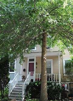
House on School Street | |
  | |
| Location | North Broadway, School St., Ellen St., Castle Heights Ave., Van Houten St., Upper Nyack, New York |
|---|---|
| Coordinates | 41°6′2″N 73°55′0″W / 41.10056°N 73.91667°WCoordinates: 41°6′2″N 73°55′0″W / 41.10056°N 73.91667°W |
| Area | 14 acres (5.7 ha) |
| Built | 1798 |
| Architectural style | Greek Revival, Italianate, et al. |
| NRHP Reference # | 04000877[1] |
| Added to NRHP | August 20, 2004 |
Van Houten's Landing Historic District is a national historic district located at Upper Nyack in Rockland County, New York. It encompasses 50 contributing buildings and two contributing structures in the historic core of Upper Nyack. The district developed after 1798 and includes notable examples of Greek Revival and Italianate style architecture. Located in the district is the separately listed Upper Nyack Firehouse. Other notable buildings include the Village Hall (c. 1870), John Lydecker House (c. 1814, 1830), C.A. Fellows House (c. 1840), James P. Vorhis House (c. 1884), Gilchrest House (c. 1820, 1890), and Voorhis Store (c. 1884).[2]
It was listed on the National Register of Historic Places in 2004.[1]
References
- 1 2 National Park Service (2009-03-13). "National Register Information System". National Register of Historic Places. National Park Service.
- ↑ "Cultural Resource Information System (CRIS)" (Searchable database). New York State Office of Parks, Recreation and Historic Preservation. Retrieved 2015-12-01. Note: This includes William E. Krattinger (September 2003). "National Register of Historic Places Registration Form: Van Houten's Landing Historic District" (PDF). Retrieved 2016-02-01.
| Topics |   | |
|---|---|---|
| Lists by county |
| |
| Lists by city | ||
| Other lists | ||
| ||
This article is issued from Wikipedia - version of the 11/29/2016. The text is available under the Creative Commons Attribution/Share Alike but additional terms may apply for the media files.