Torroella de Montgrí
| Torroella de Montgrí | |||
|---|---|---|---|
| Municipality | |||
|
Weekly market on the main square | |||
| |||
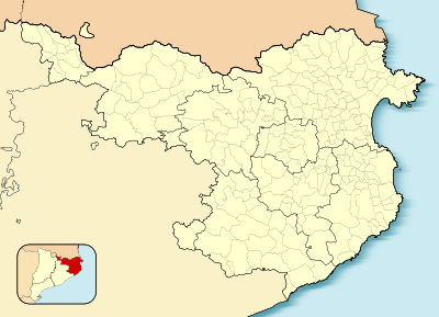 Torroella de Montgrí  Torroella de Montgrí Location in Catalonia | |||
| Coordinates: ES 42°2′38″N 3°7′43″E / 42.04389°N 3.12861°E | |||
| Country | Spain | ||
| Autonomous community | Catalonia | ||
| Province | Girona | ||
| Comarca | Baix Empordà | ||
| Judicial district | La Bisbal d'Empordà | ||
| Government | |||
| • Mayor | Josep Maria Rufí (Jordi Cordon Pulido (2015)[1]) | ||
| Area[2] | |||
| • Total | 65.9 km2 (25.4 sq mi) | ||
| Elevation | 31 m (102 ft) | ||
| Population (2014)[1] | |||
| • Total | 11,381 | ||
| • Density | 170/km2 (450/sq mi) | ||
| Demonym(s) | Montgrins | ||
| Time zone | CET (UTC+1) | ||
| • Summer (DST) | CEST (UTC+2) | ||
| Postal code | 17257 | ||
| Website |
torroella-estartit | ||
%2C_Pla%C3%A7a_de_la_Vila.jpg)


Torroella de Montgrí is a coastal municipality on the Costa Brava, and small town in Catalonia, Spain. The town lies on the north bank of the Ter river, a few kilometres before it flows into the Mediterranean. The beach resort of L'Estartit also is part of the municipality, as are the Medes Islands and a large part of the Montgrí Massif.
Features
The town is 22 km east of Girona and 5 km west of the resort of L'Estartit. It lies on the junction of the C-31 and GI-641.
The town was originally the Royal Port for the Kings of Aragon before the river started silting up and a new port was founded at l'Estartit
The town retains its medieval core and walls and hosts a market every Monday.
Montgrí Massif

The town is towered over by the Montgrí Massif on its northern side. The Montgrí is a long mountain formation that looks like a sleeping bishop seen from afar. Its vegetation consists mostly of low Mediterranean scrub among rocks.
The maximum height of the range is 308m and it is topped by an ancient fortress in the middle, the Montgrí Castle.
References
- 1 2 "Ajuntament de Torroella de Montgrí". Generalitat of Catalonia. Retrieved 2015-11-13.
- ↑ "El municipi en xifres: Torroella de Montgrí". Statistical Institute of Catalonia. Retrieved 2015-11-23.
External links
 Torroella de Montgrí travel guide from Wikivoyage
- Town Council Website
 |
Bellcaire d'Empordà | L'Escala | | |
| Ullà | |
Mediterranean Sea | ||
| ||||
| | ||||
| Gualta | Fontanilles | Pals |