Serra de Daró
| Serra de Daró | |||
|---|---|---|---|
| Municipality | |||
|
Serra de Daró with the Montgrí Massif in the background. | |||
| |||
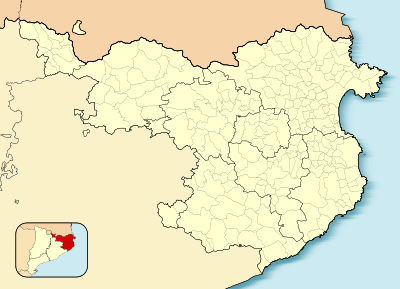 Serra de Daró  Serra de Daró Location in Catalonia | |||
| Coordinates: 42°1′46″N 3°04′25″E / 42.02944°N 3.07361°ECoordinates: 42°1′46″N 3°04′25″E / 42.02944°N 3.07361°E | |||
| Country |
| ||
| Community |
| ||
| Province | Girona | ||
| Comarca | Baix Empordà | ||
| Government | |||
| • Mayor | Josep Puig Ribas (2015)[1] | ||
| Area[2] | |||
| • Total | 7.9 km2 (3.1 sq mi) | ||
| Elevation | 15 m (49 ft) | ||
| Population (2014)[1] | |||
| • Total | 211 | ||
| • Density | 27/km2 (69/sq mi) | ||
| Demonym(s) | Serranenc | ||
| Website |
www | ||


Serra de Daró is a municipality in Catalonia, Spain. Documented since 1017, it is located in the Daró river valley.
References
- 1 2 "Ajuntament de Serra de Daró". Generalitat of Catalonia. Retrieved 2015-11-13.
- ↑ "El municipi en xifres: Serra de Daró". Statistical Institute of Catalonia. Retrieved 2015-11-23.
 |
Verges | La Tallada d'Empordà | | |
| Ultramort | |
Fontanilles | ||
| ||||
| | ||||
| Parlavà | Ullastret |
This article is issued from Wikipedia - version of the 11/10/2016. The text is available under the Creative Commons Attribution/Share Alike but additional terms may apply for the media files.