Topaz Ranch Estates, Nevada
| Topaz Ranch Estates, Nevada | |
|---|---|
| Census-designated place | |
| Nickname(s): (TRE) | |
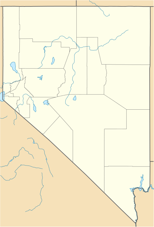 Topaz Ranch Estates Location of Topaz Ranch Estates, Nevada | |
| Coordinates: 38°43′59″N 119°30′25″W / 38.73306°N 119.50694°WCoordinates: 38°43′59″N 119°30′25″W / 38.73306°N 119.50694°W | |
| Country | United States |
| State | Nevada |
| Area | |
| • Total | 14.4 sq mi (37.3 km2) |
| • Land | 14.4 sq mi (37.3 km2) |
| • Water | 0 sq mi (0 km2) |
| Elevation | 5,140 ft (1,570 m) |
| Population (2010) | |
| • Total | 1,501 |
| • Density | 100/sq mi (40/km2) |
| Time zone | Pacific (PST) (UTC-8) |
| • Summer (DST) | PDT (UTC-7) |
| Area code(s) | 775 |
| FIPS code | 32-74400 |
Topaz Ranch Estates is a census-designated place (CDP) in Douglas County, Nevada, United States. The population was 1,501 at the 2010 census.[1]
Geography
Topaz Ranch Estates is located in southern Douglas County, along Nevada State Route 208. It is 8 miles (13 km) east to Wellington and 3 miles (5 km) west to U.S. Route 395 at Holbrook Junction.
According to the United States Census Bureau, the Topaz Ranch Estates CDP has an area of 14.4 square miles (37.3 km2), all land.[1]
References
- 1 2 "Geographic Identifiers: 2010 Demographic Profile Data (G001): Topaz Ranch Estates CDP, Nevada". U.S. Census Bureau, American Factfinder. Retrieved January 24, 2013.
Municipalities and communities of Douglas County, Nevada, United States | ||
|---|---|---|
| CDPs | 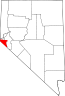 | |
| Unincorporated communities | ||
This article is issued from Wikipedia - version of the 2/16/2014. The text is available under the Creative Commons Attribution/Share Alike but additional terms may apply for the media files.