Telegraph City, California
Coordinates: 37°56′04″N 120°44′24″W / 37.93444°N 120.74000°W
| Telegraph City | |
|---|---|
| Unincorporated community | |
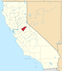
 Telegraph City  Telegraph City Location in California | |
| Coordinates: 37°56′04″N 120°44′24″W / 37.93444°N 120.74000°W | |
| Country | United States |
| State | California |
| County | Calaveras County |
| Elevation[1] | 653 ft (199 m) |
Telegraph City is an unincorporated community in Calaveras County, California. It lies at an elevation of 653 feet (199 m). A post office operated here from 1862 to 1894.[2] The place was named for its location on the telegraph line between Stockton and Sonora.[2]
References
- ↑ U.S. Geological Survey Geographic Names Information System: Telegraph City, California
- 1 2 Durham, David L. (1998). California's Geographic Names: A Gazetteer of Historic and Modern Names of the State. Clovis, Calif.: Word Dancer Press. p. 836. ISBN 1-884995-14-4.
This article is issued from Wikipedia - version of the 7/5/2016. The text is available under the Creative Commons Attribution/Share Alike but additional terms may apply for the media files.