St. Marks River State Park
| St. Marks River State Park | |
|---|---|
|
IUCN category V (protected landscape/seascape) | |
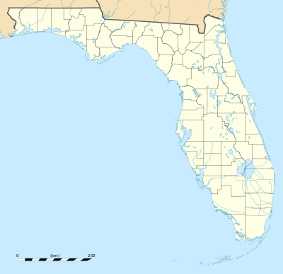 | |
| Location | Leon County, Florida, USA |
| Nearest city | Tallahassee, Florida |
| Coordinates | 30°23′33″N 84°05′06″W / 30.39250°N 84.08500°WCoordinates: 30°23′33″N 84°05′06″W / 30.39250°N 84.08500°W |
| Governing body | Florida Department of Environmental Protection |
St. Marks River State Park which opened in 2007, is the 161st Florida State Park, located about 10 miles east of Tallahassee, south of U.S. Highway 27. The park's 2,589 acres occupy parts of Jefferson and Leon counties and act as a buffer from development for the St. Marks River.[1]
References
- ↑ "DEP Readies 161st State Park for Recreational Use". October 2, 2007. Florida Department of Environmental Protection. Retrieved 10 June 2012.
External links
This article is issued from Wikipedia - version of the 11/19/2016. The text is available under the Creative Commons Attribution/Share Alike but additional terms may apply for the media files.