Matanzas State Forest
| Matanzas State Forest | |
|---|---|
|
Map of Florida | |
| Location | St. Johns County, Florida |
| Nearest city | St. Augustine |
| Coordinates | 29°42′58.24″N 81°18′9.84″W / 29.7161778°N 81.3027333°W / 29.7161778; -81.3027333Coordinates: 29°42′58.24″N 81°18′9.84″W / 29.7161778°N 81.3027333°W / 29.7161778; -81.3027333 |
| Area | 4,699 acres (19.02 km²) |
| Governing body | Florida Department of Environmental Protection |
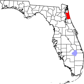
The Matanzas State Forest is in the U.S. state of Florida. The 4,699-acre (19 km2) forest is located in northeastern Florida, near St. Augustine.
References and external links
This article is issued from Wikipedia - version of the 11/19/2016. The text is available under the Creative Commons Attribution/Share Alike but additional terms may apply for the media files.