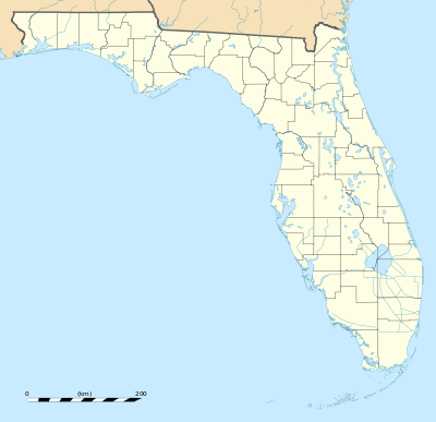
Dunns Creek State Park
| Dunns Creek State Park | |
|---|---|
|
IUCN category V (protected landscape/seascape) | |
 | |
| Location | Putnam County, Florida, USA |
| Nearest city | Crescent City, Florida |
| Coordinates | 29°28′28″N 81°35′27″W / 29.47444°N 81.59083°WCoordinates: 29°28′28″N 81°35′27″W / 29.47444°N 81.59083°W |
| Governing body | Florida Department of Environmental Protection |
Dunns Creek State Park is a Florida State Park, located approximately 15 miles south of Palatka, on US 17.
History
Native Americans used this site as evidenced by the fairly widespread shell mounds. During the 1920s, a steamboat stop provided wood and water to citrus loaded ships. The area was also used as a post office for the towns of Pomona and Cisco. The 6,000-acre property was the site of turpentining, logging, cattle ranching and farming operations within the last century. Located south of a sharp bend in the St. Johns River, the park was added to the state park system in October 2001.[1]
Notes
- ↑ "Florida State Parks 75th Anniversary 1935 - 2010". Floridastateparks.org. Retrieved 2014-01-09.
External links
- Dunns Creek at Florida State Parks
- Dunns Creek at State Parks
- Dunns Creek at Wildernet
- Dunns Creek State Park Unit Management Plan
This article is issued from Wikipedia - version of the 11/19/2016. The text is available under the Creative Commons Attribution/Share Alike but additional terms may apply for the media files.