Amelia Island State Park
| Amelia Island State Park | |
|---|---|
|
IUCN category Ib (wilderness area) | |
 | |
| Location | Nassau County, Florida, USA |
| Nearest city | Fernandina Beach, Florida |
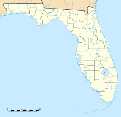
| Coordinates | 30°31′48″N 81°26′17″W / 30.53000°N 81.43806°WCoordinates: 30°31′48″N 81°26′17″W / 30.53000°N 81.43806°W |
| Area | 200 acres (0.81 km2) |
| Governing body | Florida Department of Environmental Protection |

Amelia Island State Recreation Area is a Florida State Park located 7 miles (11 km) north of Little Talbot Island State Park on SR A1A, and 8 miles (13 km) south of Fernandina Beach on Amelia Island, Florida. The park consists of 200 acres (0.81 km2) of beaches, salt marshes and coastal maritime forests.
Activities include fishing, hiking, sunning, watching wildlife, and horseback riding.
References
- Amelia Island State Recreation Area. Online. January 8, 2006.
- Florida Online Park Guide -Amelia Island State Park, Northeast- Visit our Florida State Parks Online. January 8, 2006.
This article is issued from Wikipedia - version of the 11/18/2016. The text is available under the Creative Commons Attribution/Share Alike but additional terms may apply for the media files.