Nantmel
| Nantmel | |
 |
|
 Nantmel |
|
| Population | 621 |
|---|---|
| OS grid reference | SO06NW52 |
| – Cardiff | 56.7 mi (91.2 km) |
| – London | 150.5 mi (242.2 km) |
| Community | Nantmel |
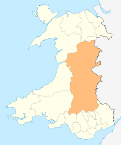
| Principal area | Powys |
| Country | Wales |
| Sovereign state | United Kingdom |
| Post town | Llandrindod Wells |
| Postcode district | LD1 |
| Police | Dyfed-Powys |
| Fire | Mid and West Wales |
| Ambulance | Welsh |
| EU Parliament | Wales |
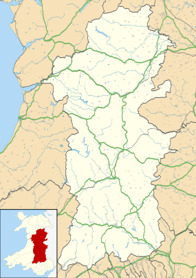
Coordinates: 52°17′09″N 3°25′30″W / 52.285932°N 3.424888°WNantmel is a village and a community in the county of Powys, Wales, and is 56.7 miles (91.2 km) from Cardiff and 150.5 miles (242.2 km) from London.[1][2] In 2011 the population of Nantmel was 621 with 11.8% of them able to speak Welsh.[3]
The hamlets of Argoed, Dulas and Cynllo all lie within this community and the Ty Lettice Roman Road runs through it.
Governance
An electoral ward in the same name exists. The population of this ward at the 2011 Census was 1,465.[4]
References
- ↑ Bangor University Placenames Unit (Canolfan Bedwyr); accessed 9 May 2014
- ↑ Google Maps (Map). Google.
- ↑ Welsh Government website; 2011 Census Returns and stats; accessed 9 May 2014
- ↑ "Ward population 2011". Retrieved 14 November 2015.
See also
- Nantmel Aqueduct
- Nantmel Landfill Site
- List of localities in Wales by population
This article is issued from Wikipedia - version of the 5/18/2016. The text is available under the Creative Commons Attribution/Share Alike but additional terms may apply for the media files.