Llangynog
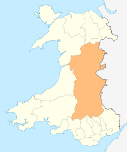
Llangynog (grid reference SJ053261) lies at the confluence of the Afon Eirth and the Afon Tanat at the foot of the Berwyn range in Powys, Wales.
It lies at the foot of the Milltir Cerrig mountain pass on the B4391 road, which runs between Llan Ffestiniog and Llanfyllin (though the B4391 road number 'disappears' between the western end of Llyn Celyn and Bala).
It is surrounded by mountains and is a popular base for walkers. Llangynog has a down-hill mountain bike course, and a crown green bowling club, who play in the Oswestry League.
It was the western terminus of the Tanat Valley Light Railway (Llynclys - Llangynog) (15 miles); it opened on 5 January 1904 and closed (passenger traffic) in 1951.
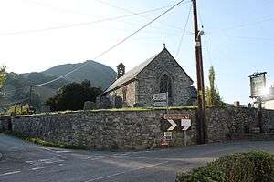
It is close to the pilgrimage shrine of Saint Melangell at the church of Pennant Melangell (grid reference SJ024265). Lake Vyrnwy is a short drive away. Bala Lake, Powys Castle in Welshpool and Oswestry take around half an hour by car. Wrexham, Chester, New Town and Shrewsbury are all under an hour away. The seaside town of Barmouth is also within easy reach by car.
Demographics
Llangynog's population was 339, according to the 2011 census;[1] a 5.60% increase since the 321 people noted in 2001.[2]
The 2011 census showed 36.7% of the population could speak Welsh, a fall from 50.6% in 2001, reportedly due to an influx of residents from the West Midlands.[3]
See also
References
- ↑ "Area: Llangynog (Parish)". Office for National Statistics. 30 January 2013. Retrieved 12 August 2015.
- ↑ "Area: Llangynog (Parish)". Office for National Statistics. 18 November 2004. Retrieved 12 August 2015.
- ↑ "2011 Census results by Community". Welsh Language Commissioner. 2015. Retrieved 12 August 2015.
External links
- Photos of Llangynog and surrounding area on geograph
- The Legend of Pererindod Melangell - BBC Wales
- Saint Melangell
- Community website
Coordinates: 52°49′30″N 3°24′22″W / 52.825°N 3.406°W