Mpraeso
| Mpraeso | |
|---|---|
| Town | |
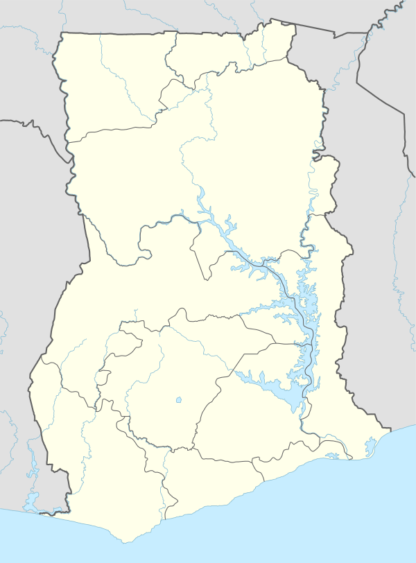 Mpraeso Location of Mpraeso in Eastern Region, Ghana | |
| Coordinates: 6°34′48″N 0°43′47″W / 6.58000°N 0.72972°WCoordinates: 6°34′48″N 0°43′47″W / 6.58000°N 0.72972°W | |
| Country |
|
| Region |
|
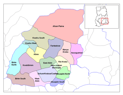
| District | Kwahu South District |
| Population (2013) | |
| • Total | 11,190[1] |
| Time zone | GMT |
| • Summer (DST) | GMT (UTC) |
Mpraeso is a town and the capital of Kwahu South district, a district in the Eastern Region of south Ghana, located at an altitude of 367 m on the Kwahu Plateau, which forms the south-west boundary of Lake Volta. Mpraeso has a 2013 settlement population of 11,190 people.[1]
Geography
The headwaters of the Pra River are near Mpraeso.
Education
Mpraeso Secondary School (MPASS) is in Mpraeso .[2]
Mining
The discovery of Bauxite near Mpraeso, announced in 1924, led to the development of the Bauxite mining industry along the Volta River.[3]
Arts
Mpraeso is famous for manufacturing pottery, particularly for its grinding bowls: shallow dishes with strong, inverted rims and ridges on the interior used to grind vegetables using a small wooden pestle.[4]
References
- 1 2 "World Gazetteer online". World-gazetteer.com.
- ↑ "Mpraeso Secondary School". Global Learning and Observations to Benefit the Environment. Retrieved 2009-03-18.
- ↑ Boahen, Adu (1975). Ghana: evolution and change in the nineteenth and twentieth centuries. London: Longman. ISBN 0-582-60065-0.
- ↑ "In Ghana, Pottery is Women's Work". Studio Potter. Retrieved 2009-03-18.
| Municipal |
|  |
|---|---|---|
| District |
| |