Yilo Krobo District
| Yilo Krobo Municipal | |
|---|---|
| Municipal | |
 Eastern Region districts | |
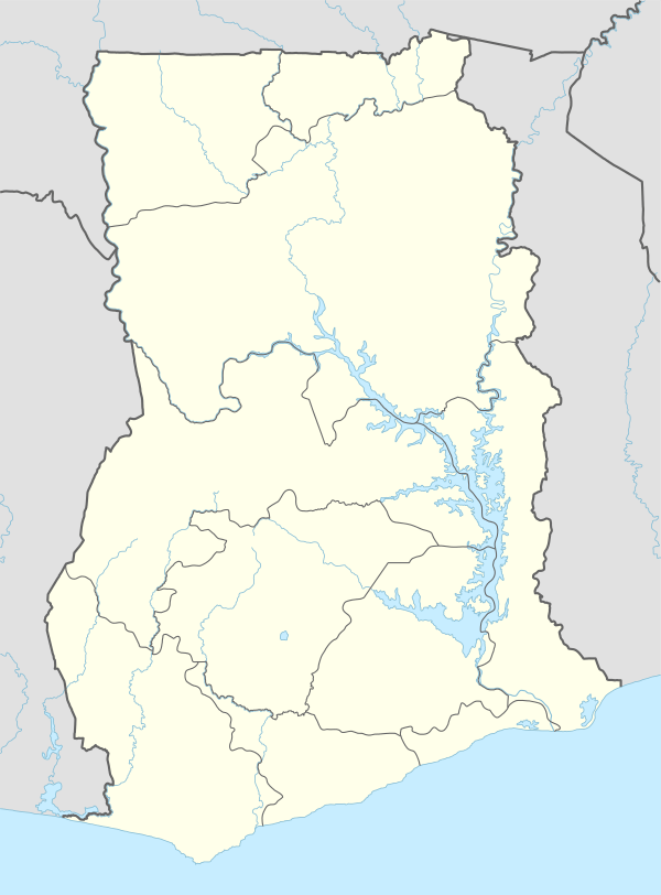 Yilo Krobo Municipal Location of Yilo Krobo district in Eastern Region | |
| Coordinates: 6°6′36″N 0°6′36″W / 6.11000°N 0.11000°WCoordinates: 6°6′36″N 0°6′36″W / 6.11000°N 0.11000°W | |
| Region | Eastern Region |
| Capital | Somanya |
| Government | |
| • Type | District Assembly |
| • District Executive | Hon. Andrews Sodah |
| Area | |
| • Total | 594 km2 (229 sq mi) |
| Population (2013) | |
| • Total | — |
| Time zone | Greenwich Mean Time (UTC+0) |
| • Summer (DST) | GMT (UTC) |
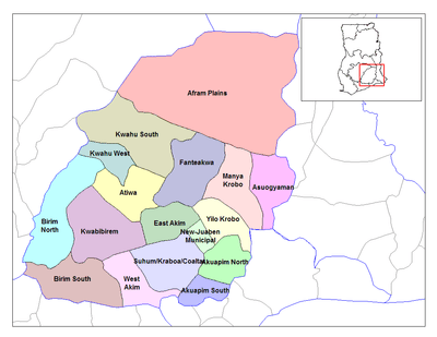
The Yilo Krobo District is one of the twenty-one (21) districts of the Eastern Region of south Ghana.[1] The capital is Somanya.
Geography
The Yilo Krobo district is approximately between latitude 60 .00’N and 00 .30’N and between longitude 00 . 30’ and 10 .00’W. It covers an estimated area of 805sq.km, constituting 4.2 percent of the total area of the Eastern Region with Somanya as its capital. The Yilo Krobo district is bounded in the north and east by Lower Manya Krobo District, in the South by Akuapim North District and on the West by New-Juaben Municipal District, East Akim Municipal District and Fanteakwa District.[1]
References
Sources
- "Districts of Ghana". Statoids.
- GhanaDistricts.com
| Municipal |
| |
|---|---|---|
| District |
| |
This article is issued from Wikipedia - version of the 7/16/2016. The text is available under the Creative Commons Attribution/Share Alike but additional terms may apply for the media files.