Máximo Gómez Airport
| Máximo Gómez Airport Aeropuerto Máximo Gómez | |||||||||||
|---|---|---|---|---|---|---|---|---|---|---|---|
| IATA: AVI – ICAO: MUCA | |||||||||||
| Summary | |||||||||||
| Airport type | Public | ||||||||||
| Operator | Government | ||||||||||
| Serves | Ciego de Ávila, Cuba | ||||||||||
| Elevation AMSL | 102 m / 335 ft | ||||||||||
| Coordinates | 22°01′37″N 078°47′22″W / 22.02694°N 78.78944°WCoordinates: 22°01′37″N 078°47′22″W / 22.02694°N 78.78944°W | ||||||||||
| Map | |||||||||||
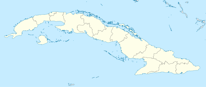 MUCA Location in Cuba | |||||||||||
| Runways | |||||||||||
| |||||||||||
Máximo Gómez Airport (IATA: AVI, ICAO: MUCA) is a regional airport in the Ciego de Ávila Province of Cuba which serves the city of Ciego de Ávila.
It is named for Máximo Gómez, a Major General in the Ten Years' War (1868–1878) and Cuba's military commander in the Cuban War of Independence (1895–1898). It received flights mostly from Canada during the 1990s, with tourists going to the resorts on the island of Cayo Coco. Since the construction of Jardines Del Rey Airport in 2002, there were only domestic flights to Havana, which recently ended as well, leaving this airport unserved by any scheduled airlines.
References
- ↑ Aerodrome chart issued 30 October 2011
- ↑ Airport information for Máximo Gómez Airport at Search (for) Travel website.
External links
This article is issued from Wikipedia - version of the 12/4/2016. The text is available under the Creative Commons Attribution/Share Alike but additional terms may apply for the media files.