Hermanos Ameijeiras Airport
| Hermanos Ameijeiras Airport | |||||||||||
|---|---|---|---|---|---|---|---|---|---|---|---|
| IATA: VTU – ICAO: MUVT | |||||||||||
| Summary | |||||||||||
| Serves | Las Tunas, Cuba | ||||||||||
| Elevation AMSL | 100 m / 328 ft | ||||||||||
| Coordinates | 20°59′16″N 076°56′09″W / 20.98778°N 76.93583°WCoordinates: 20°59′16″N 076°56′09″W / 20.98778°N 76.93583°W | ||||||||||
| Map | |||||||||||
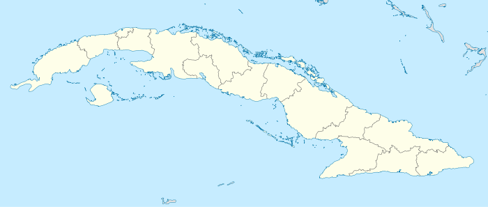 MUVT Location in Cuba | |||||||||||
| Runways | |||||||||||
| |||||||||||
|
Source: Aerodrome chart[1] | |||||||||||
Hermanos Ameijeiras Airport (IATA: VTU, ICAO: MUVT) is a regional airport that serves the city of Las Tunas in Cuba. It is located into its north-eastern suburb.
Airlines
| Airlines | Destinations |
|---|---|
| Cubana de Aviación | Havana |
References
- ↑ Aerodrome chart Issued 30 October 2007
This article is issued from Wikipedia - version of the 12/4/2016. The text is available under the Creative Commons Attribution/Share Alike but additional terms may apply for the media files.