Orestes Acosta Airport
| Orestes Acosta Airport Aeropuerto Orestes Acosta | |||||||||||
|---|---|---|---|---|---|---|---|---|---|---|---|
| IATA: MOA – ICAO: MUMO | |||||||||||
| Summary | |||||||||||
| Airport type | Public | ||||||||||
| Serves | Moa, Holguín Province, Cuba | ||||||||||
| Elevation AMSL | 5 m / 16 ft | ||||||||||
| Coordinates | 20°39′14″N 74°55′20″W / 20.65389°N 74.92222°WCoordinates: 20°39′14″N 74°55′20″W / 20.65389°N 74.92222°W | ||||||||||
| Map | |||||||||||
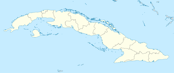 MUMO Location in Cuba | |||||||||||
| Runways | |||||||||||
| |||||||||||
Orestes Acosta Airport (Spanish: Aeropuerto Orestes Acosta) (IATA: MOA, ICAO: MUMO) is a regional airport that serves Moa,[1] a municipality in the Holguín Province of Cuba.
Facilities
The airport resides at an elevation of 5 m (16 ft) above mean sea level. It has one runway designated 07/25 with an asphalt surface measuring 1,860 m × 30 m (6,102 ft × 98 ft).[1]
Airlines and destinations
| Airlines | Destinations |
|---|---|
| Cubana de Aviación | Havana |
References
- 1 2 3 Aerodrome chart issued 30 October 2007
- ↑ Airport information for MUMOMUMO at World Aero Data. Data current as of October 2006.Source: DAFIF.
- ↑ Airport information for MOA at Great Circle Mapper. Source: DAFIF (effective October 2006).
External links
This article is issued from Wikipedia - version of the 12/4/2016. The text is available under the Creative Commons Attribution/Share Alike but additional terms may apply for the media files.