Joaquín de Agüero Airport
| Santa Lucia Airport Joaquín de Agüero Airport Aeropuerto "Joaquín de Agüero" | |||||||||||
|---|---|---|---|---|---|---|---|---|---|---|---|
| IATA: none – ICAO: MUSL | |||||||||||
| Summary | |||||||||||
| Airport type | Public | ||||||||||
| Serves | Santa Lucía, Camagüey, Cuba | ||||||||||
| Elevation AMSL | 4 m / 13 ft | ||||||||||
| Coordinates | 21°30′34″N 077°01′13″W / 21.50944°N 77.02028°WCoordinates: 21°30′34″N 077°01′13″W / 21.50944°N 77.02028°W | ||||||||||
| Map | |||||||||||
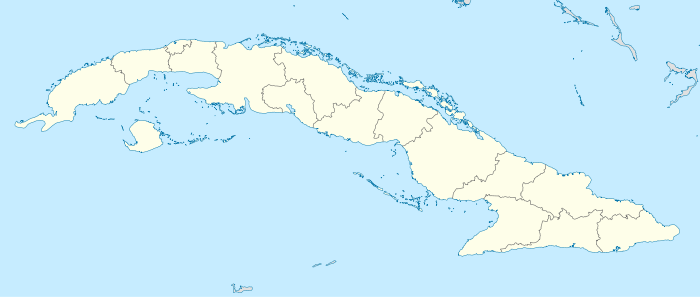 MUSL Location in Cuba | |||||||||||
| Runways | |||||||||||
| |||||||||||
Joaquín de Agüero Airport (Spanish: Aeropuerto "Joaquín de Agüero"[1]) (ICAO: MUSL), also known as Santa Lucía Airport,[2] is an airport serving Playa Santa Lucía,[2] a village of Nuevitas, in the Camagüey Province of Cuba.
Facilities
The airport resides at an elevation of 4 m (13 ft) above mean sea level. It has one runway designated 08/26 with an asphalt surface measuring 1,800 m × 30 m (5,906 ft × 98 ft).[1][2]
References
- 1 2 3 "Aeropuertos de Cuba" [Airports of Cuba] (in Spanish). El Instituto de Aeronáutica Civil de Cuba (IACC). Retrieved 30 May 2010.
- 1 2 3 4 Airport information for MUSL at World Aero Data. Data current as of October 2006.Source: DAFIF.
- ↑ Airport information for MUSL at Great Circle Mapper. Source: DAFIF (effective October 2006).
External links
This article is issued from Wikipedia - version of the 12/4/2016. The text is available under the Creative Commons Attribution/Share Alike but additional terms may apply for the media files.