Lavers Hill
| Lavers Hill Victoria | |||||||||||||
|---|---|---|---|---|---|---|---|---|---|---|---|---|---|
 Great Ocean Road at Lavers Hill | |||||||||||||
 Lavers Hill | |||||||||||||
| Coordinates | 38°40′0″S 143°24′0″E / 38.66667°S 143.40000°ECoordinates: 38°40′0″S 143°24′0″E / 38.66667°S 143.40000°E | ||||||||||||
| Population | 208 (2006 census)[1] | ||||||||||||
| Established | 1891 | ||||||||||||
| Postcode(s) | 3238 | ||||||||||||
| Elevation | 450 m (1,476 ft) | ||||||||||||
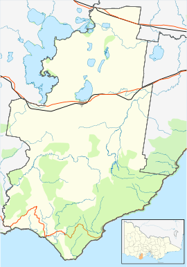
| Location |
| ||||||||||||
| LGA(s) | Colac Otway Shire | ||||||||||||
| State electorate(s) | Polwarth | ||||||||||||
| Federal Division(s) | Corangamite | ||||||||||||
| |||||||||||||
Lavers Hill is a town in Victoria, Australia, located 48 kilometres (30 mi) inland from Port Campbell and 48 kilometres (30 mi) from Apollo Bay. The township is located approximately 205 kilometres (127 mi) south-west of the state capital, Melbourne. At the 2006 census, Lavers Hill had a population of 208.[1]
History
Lavers Hill was named after two settlers from Gippsland called Stephen and Frank Laver. The first saw mill was opened in 1900 and so was the church next to the College. Old families from as far back as the 1880s still reside near Lavers Hill, e.g. Speight, Hampshire and Farrell. Development of Lavers Hill happened quickly. Lavers Hill depended on logging and agriculture for its income. It also is dependent on tourism. A bank was opened in 1906, the community hall was opened, a cheese factory and butcher shop were built and also a hotel. A lot of these businesses have closed down. The Community hall was literally blown over in 1930 and rebuilt in 1933. The hotel was burnt down in 1919 and again in 1930. The cheese factory closed and so did the butcher.
Lavers Hill School
The Lavers Hill school was opened in 1910 as a rented room in the cheese factory. Another school was built near the church in 1911. In 1953, Johanna school and this were consolidated. At one point, Lavers Hill school had 500 kids. Today it has around 100 students from Beech Forest, Ferguson, Gellibrand, Lower Gellibrand, Johanna and Hordernvale and was opened 1911. This school has recently celebrated its centenary on 2/3 April 2011.
Town Features
Tourist information is located at the newest establishment in Lavers Hill. Built from recycled local materials "The Shoppe" showcases the produce and products of the local residents and has an onsite cafe serving homemade pastries and great coffee.
Lavers Hill Post Office opened around 1902. Its name is Yatzies and is currently owned by the Yates family. This town used to have a bakery called McDuff's, however it has ceased to function and is up for sale.
There is a town hall, opened in 1933. Locals use it for CERT meetings, badminton matches, progress meetings and other uses like that. On the way to Port Campbell, along the right of the road, there is a police station. Opposite to the Police Station there is the roadhouse and the tavern.
Lavers Hill is a favourite among tourist hotspots as it is only half an hour to the Twelve Apostles, an hour to Colac, is on the Great Ocean Road, is half an hour to the Otway Fly, and is less than an hour to Apollo Bay. It is the meeting point of the roads to Colac, Cobden, Apollo Bay and Port Campbell.
References
- 1 2 Australian Bureau of Statistics (25 October 2007). "Lavers Hill (State Suburb)". 2006 Census QuickStats. Retrieved 2007-08-04.
External links
![]() Media related to Lavers Hill, Victoria at Wikimedia Commons
Media related to Lavers Hill, Victoria at Wikimedia Commons