Kinnaird, Atholl
Coordinates: 56°42′43″N 3°42′31″W / 56.711857°N 3.708717°W
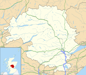
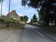
Kinnaird (Scottish Gaelic: An Ceann Àrd, "high headland") is a village in Atholl, and the Perth and Kinross council area of Scotland. It lies on the Kinnaird Burn, one mile from Pitlochry on the A924 road.[1][2]
Kinnaird
References
- ↑ Gazetteer for Scotland, retrieved October 20, 2010
- ↑ "Pitlochry and Crieff", Ordnance Survey Landranger Map (B2 ed.), 2008, ISBN 0-319-22985-8
| Wikimedia Commons has media related to Kinnaird, Gowrie. |
This article is issued from Wikipedia - version of the 12/11/2014. The text is available under the Creative Commons Attribution/Share Alike but additional terms may apply for the media files.