Bridge of Tilt
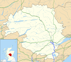
Coordinates: 56°46′16″N 3°50′27″W / 56.771024°N 3.840913°W
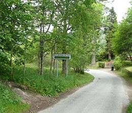
Bridge of Tilt (Scottish Gaelic: Drochaid Theilt) is a village in Perthshire, Scotland, built around the River Tilt (Scottish Gaelic: Abhainn Teilt), hence its name. It is located 5.8 miles northwest of Pitlochry. The newer part of the village is continuous with Blair Atholl, only separated by the River Tilt. The village is located primarily on the B8079 between Pitlochry and Dunalastair Water, but the older part of the village (Old Bridge of Tilt) is located further up the River Tilt. The A9 runs past the River Garry to the south of Bridge of Tilt, and connects the village with Newtonmore and Inverness in the north and Pitlochry, Perth and Stirling in the south.
Transport and Amenities
Bridge of Tilt is located very near to Blair Castle, home of the Clan Murray, who hold the title of Duke of Atholl. The village has two hotels, Ptarmigan House (which offers fishing, shooting and golf) and the Bridge of Tilt Hotel, which is located on the main road. There is also a caravan park, River Tilt Park. There are few shops within the new village, but there is a restaurant, 'The Loft' and a local grocery, the 'Tilt Stores'. Blair Atholl Primary School is located on St Adamnan Road in Bridge of Tilt.
Buses stop outside the Bridge of Tilt Hotel and offer services to Pitlochry, Calvine and Struan. Although the village has no railway station, Blair Atholl railway station has services every two hours to Inverness and Perth, and the daily Highland Chieftain operates between Inverness and London King's Cross railway station.
Geography
Geographically, Bridge of Tilt sits on the north bank of the River Garry. To the east of the village on the main road is the bridge over the River Tilt, and this separates the village from Blair Atholl. The village is located in a valley in the Grampians, and south of the valley is Tulach Hill (1542 feet), and to the northeast is Càrn Liath (3192 feet). Despite its location, it sits in a reasonably populated area of the Grampian Mountains, with the villages of Calvine, Struan, Pitagowan, Bruar, Aldclune and Killiecrankie all within 4 miles of the village, as well as Blair Atholl.