Katakhal
| Katakhal | |
|---|---|
| village | |
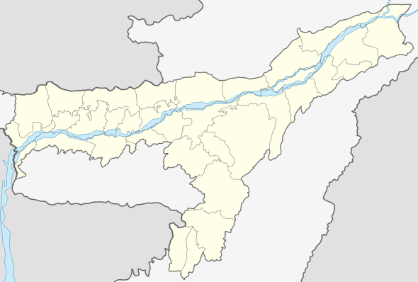 Katakhal  Katakhal Location in Assam, India | |
| Coordinates: 24°49′51″N 92°36′51″E / 24.8309°N 92.6143°ECoordinates: 24°49′51″N 92°36′51″E / 24.8309°N 92.6143°E | |
| Country | India |
| State | Assam |
| District | Hailakandi |
| District created | 01-10-1989 |
| Government | |
| • Body | Hailakandi Municipality Board |
| Area | |
| • Total | 1,327 km2 (512 sq mi) |
| Elevation | 21 m (69 ft) |
| Population (2011) | |
| • Total | 659,260 |
| • Density | 497/km2 (1,290/sq mi) |
| Languages | |
| • Official | Bangla |
| Time zone | IST (UTC+5:30) |
| PIN | 788XXX |
| Telephone code | 91 - (0) 03844 |
| ISO 3166 code | IN-AS |
| Vehicle registration | AS-24 |
| Website |
hailakandi |
Katakhal is a town and railway station in Hailakandi tehsil of Hailakandi district in the Indian state of Assam. The Hailakandi district is one of the three districts of Southern Assam i.e. Barak Valley.
Bairabi Sairang Railway
Indian Railway has already converted the current 84 km railline from Katakhal (Assam) to Bairabi 2 km inside Mizoram. Its further 51.38 km Bairabi Sairang Railway extension from Bairabi to Sairang (20 km north of Aizwal) in Mizoram is under construction with target completion date of March 2019 as per status update in March 2016. In August 2015, India railway completed a survey for a possible new route extension from Sairang to Hmawngbuchhuah[1] on Mizoram’s southern tip on the border of Myanmar, where at nearby Zochachhuah[2] village the National Highway 502 (India) (part of Kaladan Multi-Modal Transit Transport Project) enters Myanmar, leaving a possibility open for yet-unplanned future rail connections to Paletwa.[3][4]
See also
External links
References
| Topics | |
|---|---|
| History | |
| Districts & Divisions |
|
| Geography | |
| Culture | |
| Arts, Literature, Music Cinema |
|
| People | |
| Notable surnames |
|
| Urban centres | |
| |