Insh, Slate Islands
For the village near Kingussie, Inverness-shire, see Insh.
| Gaelic name | Innis |
|---|---|
| Meaning of name | island |
| Location | |
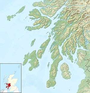 Insh Island Insh shown within Argyll and Bute | |
| OS grid reference | NM729192 |
| Physical geography | |
| Island group | Slate Islands |
| Area | 33 hectares (82 acres)[1] |
| Highest elevation | 69 m |
| Administration | |
| Sovereign state | United Kingdom |
| Country | Scotland |
| Council area | Argyll and Bute |
| Demographics | |
| Population | 0 |
| References | [2][3] |
Insh (Scottish Gaelic: innis: island) is an uninhabited island west of the island of Seil in the Firth of Lorn, Scotland.

Insh Island
One of the Slate Islands, Insh Island lies a mile (1.5 km) northeast of Ellenabeich in Seil.[4] It is separated from it by the Sound of Insh. The island rises to 69m (226 feet) and is 36 ha in area. The private owner, David Brearley lived in a cave at the north end between 1973 and 2003.[2]
The Northern sea fan (Swiftia pallida) is found in the waters off Insh Island.[5]
Footnotes
- ↑ Rick Livingstone’s Tables of the Islands of Scotland (pdf) Argyll Yacht Charters. Retrieved 12 Dec 2011.
- 1 2 Haswell-Smith, Hamish (2004). The Scottish Islands. Edinburgh: Canongate. ISBN 978-1-84195-454-7.
- ↑ Ordnance Survey. Get-a-map (Map). 1:25,000. Leisure. Ordinance Survey. Retrieved 21 August 2013.
- ↑ "Insh Island". Gazetteer for Scotland. Retrieved 14 November 2009.
- ↑ "The Insh Island Sea Fans" (PDF). Northern Sea Fan Project. Retrieved 13 November 2009.
Coordinates: 56°18′40″N 5°40′21″W / 56.31111°N 5.67250°W
This article is issued from Wikipedia - version of the 8/9/2015. The text is available under the Creative Commons Attribution/Share Alike but additional terms may apply for the media files.