Champmotteux
| Champmotteux | |
|---|---|
|
The church in Champmotteux, in the early 20th century | |
 Champmotteux | |
|
Location within Île-de-France region 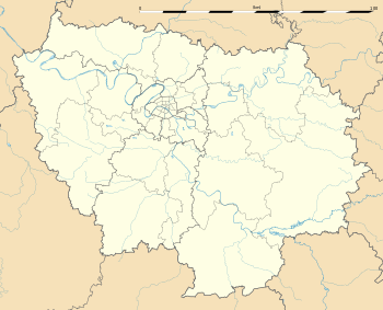 Champmotteux | |
| Coordinates: 48°20′32″N 2°19′16″E / 48.3422°N 2.321°ECoordinates: 48°20′32″N 2°19′16″E / 48.3422°N 2.321°E | |
| Country | France |
| Region | Île-de-France |
| Department | Essonne |
| Arrondissement | Étampes |
| Canton | Méréville |
| Intercommunality | C.C.E.S.E |
| Government | |
| • Mayor (Since March 2014) | Jerôme Desnoue |
| Area1 | 7.57 km2 (2.92 sq mi) |
| Population (2006)2 | 346 |
| • Density | 46/km2 (120/sq mi) |
| Time zone | CET (UTC+1) |
| • Summer (DST) | CEST (UTC+2) |
| INSEE/Postal code | 91137 / 91150 |
| Elevation | 102–147 m (335–482 ft) |
|
1 French Land Register data, which excludes lakes, ponds, glaciers > 1 km² (0.386 sq mi or 247 acres) and river estuaries. 2 Population without double counting: residents of multiple communes (e.g., students and military personnel) only counted once. | |

Champmotteux is a commune in the Essonne department in Île-de-France in northern France.
Inhabitants of Champmotteux are known as Champmottois.
See also
References
- INSEE
- Mayors of Essonne Association (French)
External links
| Wikimedia Commons has media related to Champmotteux. |
- Land use (IAURIF) (English)
This article is issued from Wikipedia - version of the 11/19/2016. The text is available under the Creative Commons Attribution/Share Alike but additional terms may apply for the media files.