Auvers-Saint-Georges
| Auvers-Saint-Georges | |
|---|---|
|
The town hall of Auvers-Saint-Georges | |
 Auvers-Saint-Georges | |
|
Location within Île-de-France region 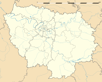 Auvers-Saint-Georges | |
| Coordinates: 48°29′33″N 2°13′07″E / 48.4925°N 2.2186°ECoordinates: 48°29′33″N 2°13′07″E / 48.4925°N 2.2186°E | |
| Country | France |
| Region | Île-de-France |
| Department | Essonne |
| Arrondissement | Étampes |
| Canton | Étréchy |
| Intercommunality | Entre Juine et Renarde |
| Government | |
| • Mayor (2008–2014) | Denis Meunier |
| Area1 | 12.99 km2 (5.02 sq mi) |
| Population (2006)2 | 1,179 |
| • Density | 91/km2 (240/sq mi) |
| Time zone | CET (UTC+1) |
| • Summer (DST) | CEST (UTC+2) |
| INSEE/Postal code | 91038 / 91580 |
| Elevation | 63–156 m (207–512 ft) |
|
1 French Land Register data, which excludes lakes, ponds, glaciers > 1 km² (0.386 sq mi or 247 acres) and river estuaries. 2 Population without double counting: residents of multiple communes (e.g., students and military personnel) only counted once. | |
_Mairie.JPG)
Auvers-Saint-Georges is a commune in the Essonne department in Île-de-France in northern France.
Inhabitants are known as Auversois.
Geography
The village lies on the right bank of the Juine, which forms all of the commune's north-western border.
See also
References
- Mayors of Essonne Association (French)
External links
| Wikimedia Commons has media related to Auvers-Saint-Georges. |
- Official website (French)
- Mérimée database - Cultural heritage (French)
- 1999 Land Use (IAURIF) (English)
This article is issued from Wikipedia - version of the 10/22/2016. The text is available under the Creative Commons Attribution/Share Alike but additional terms may apply for the media files.