Central Cole Camp Historic District
|
Central Cole Camp Historic District | |
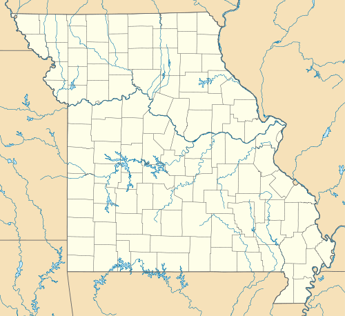  | |
| Location | Roughly consists of the 100 blks. of E and W Main St., most of Maple St.,105 E. Butterfield,106 N Olive, 107 N Boonville, Cole Camp, Missouri |
|---|---|
| Coordinates | 38°27′35″N 93°14′14″W / 38.45972°N 93.23722°WCoordinates: 38°27′35″N 93°14′14″W / 38.45972°N 93.23722°W |
| Area | 7.8 acres (3.2 ha) |
| Architect | Anderson; Keiffer and Laughlin |
| Architectural style | multiple |
| MPS | Cole Camp, Missouri MPS |
| NRHP Reference # | 02000355[1] |
| Added to NRHP | April 11, 2002 |
Central Cole Camp Historic Districtis a national historic district located at Cole Camp, Benton County, Missouri. The district encompasses 37 contributing buildings in the central business district of Cole Camp. It developed between about 1881 and 1951, and includes representative examples of period commercial, Romanesque Revival, and Italianate style architecture. Notable buildings include the Daisy Roller Mill (c. 1888), Citizens Bank (1898), Congregational Church (1913), Kroenke Dort Building (c. 1919), and Cole Camp Mercantile Building (c. 1924).[2]
It was listed on the National Register of Historic Places in 2002.[1]
References
- 1 2 National Park Service (2010-07-09). "National Register Information System". National Register of Historic Places. National Park Service.
- ↑ Debbie Sheals (November 2001). "National Register of Historic Places Inventory Nomination Form: Augustus Central Cole Camp Historic District" (PDF). Missouri Department of Natural Resources. Retrieved 2016-09-01.

This article is issued from Wikipedia - version of the 12/2/2016. The text is available under the Creative Commons Attribution/Share Alike but additional terms may apply for the media files.