Bullards Bar, California
Coordinates: 39°25′22″N 121°08′20″W / 39.42278°N 121.13889°W
| Bullards Bar | |
|---|---|
| Former settlement | |
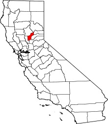
 Bullards Bar Location in California | |
| Coordinates: 39°25′22″N 121°08′20″W / 39.42278°N 121.13889°W | |
| Country | United States |
| State | California |
| County | Yuba County |
| Elevation[1] | 1,909 ft (582 m) |
Bullards Bar (also, Bullard's Bar) is a former gold mining settlement in Yuba County, California.
It was located on the North Yuba River, at an elevation of 1909 feet (582 m) in the Sierra Nevada foothills. It was 6 miles (9.7 km) southeast of Challenge,[2]
History
The name is in honor of Dr. Bullard, an early miner of the California Gold Rush here.[2] A post office operated at Bullards Bar from 1866 to 1914.[2]
Bullards Bar was inundated by New Bullards Bar Reservoir in the early 1970s.
See also
- Yuba River topics
- Mining communities of the California Gold Rush
References
This article is issued from Wikipedia - version of the 5/9/2016. The text is available under the Creative Commons Attribution/Share Alike but additional terms may apply for the media files.