Bryant, Iowa
| Bryant, Iowa | |
|---|---|
| Unincorporated community | |
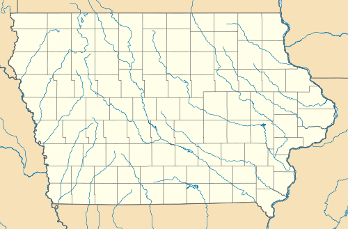 Bryant, Iowa Location within the state of Iowa | |
| Coordinates: 41°57′48″N 90°19′48″W / 41.96333°N 90.33000°WCoordinates: 41°57′48″N 90°19′48″W / 41.96333°N 90.33000°W | |
| Country | United States |
| State | Iowa |
| County | Clinton |
| Elevation | 804 ft (245 m) |
| Time zone | Central (CST) (UTC-6) |
| • Summer (DST) | CDT (UTC-5) |
| ZIP codes | 52727 |
| GNIS feature ID | 454902[1] |
Bryant is an unincorporated community in northeastern Clinton County, Iowa, United States. It lies along local roads northwest of the city of Clinton, the county seat of Clinton County.[2] Its elevation is 804 feet (245 m).[1] Although Bryant is unincorporated, it has a post office, with the ZIP code of 52727,[3] which opened as Ten Mile House on 25 August 1870 and changed its name to Bryant on 15 March 1871.[4]
History
Bryant was platted in 1871.[5] It was named for William Cullen Bryant, a New York newspaper editor.[6]
References
- 1 2 "Bryant, Iowa". Geographic Names Information System. United States Geological Survey.
- ↑ Rand McNally. The Road Atlas '08. Chicago: Rand McNally, 2008, p. 39.
- ↑ Zip Code Lookup Archived June 15, 2011, at the Wayback Machine.
- ↑ U.S. Geological Survey Geographic Names Information System: Bryant Post Office
- ↑ Wolfe, Patrick B. (1911). Wolfe's History of Clinton County, Iowa, Volume 1. B. F. Bowen. p. 257.
- ↑ Chicago and North Western Railway Company (1908). A History of the Origin of the Place Names Connected with the Chicago & North Western and Chicago, St. Paul, Minneapolis & Omaha Railways. p. 48.
Municipalities and communities of Clinton County, Iowa, United States | ||
|---|---|---|
| Cities | ||
| Townships | ||
| Unincorporated communities | ||
| Footnotes | ‡This populated place also has portions in an adjacent county or counties | |
This article is issued from Wikipedia - version of the 11/18/2016. The text is available under the Creative Commons Attribution/Share Alike but additional terms may apply for the media files.