| Ref# |
ACEC Name |
Image |
Area (acres) |
Designated |
Location |
Notes |
| 1 | Bourne Back River | | 1,850 | 1989 | Bourne | |
| 2 | Canoe River Aquifer and Associated Areas | 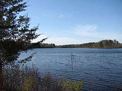 | 17,200 | 1991 | Easton, Foxborough, Mansfield, Norton, Sharon, and Taunton | Includes Watson Pond, Lake Sabbatia, and the Snake River |
| 3 | Cedar Swamp | | 1,650 | 1975 | Hopkinton and Westborough | |
| 4 | Central Nashua River Valley |  | 12,900 | 1996 | Bolton, Harvard, Lancaster, and Leominster | |
| 5 | Cranberry Brook Watershed | | 1,050 | 1983 | Braintree and Holbrook | |
| 6 | Ellisville Harbor | 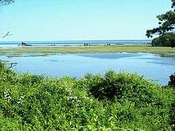 | 600 | 1980 | Plymouth | |
| 7 | Fowl Meadow and Ponkapoag Bog | | 8,350 | 1992 | Boston, Canton, Dedham, Milton, Norwood, Randolph, Sharon, and Westwood | |
| 8 | Golden Hills | | 500 | 1987 | Melrose, Saugus, and Wakefield | |
| 9 | Great Marsh | | 25,500 | 1979 | Essex, Gloucester, Ipswich, Newbury, and Rowley | originally designated as Parker River/Essex Bay |
| 10 | Herring River Watershed | | 4,450 | 1991 | Bourne and Plymouth | |
| 11 | Hinsdale Flats Watershed | | 14,500 | 1992 | Dalton, Hinsdale, Peru, and Washington | |
| 12 | Hockomock Swamp | | 16,950 | 1990 | Bridgewater, Easton, Norton, Raynham, Taunton, and West Bridgewater | |
| 13 | Inner Cape Cod Bay |  | 2,600 | 1985 | Brewster, Eastham, and Orleans | |
| 14 | Kampoosa Bog Drainage Basin | | 1,350 | 1995 | Lee and Stockbridge | |
| 15 | Karner Brook Watershed | | 7,000 | 1992 | Egremont and Mount Washington | |
| 16 | Miscoe, Warren, and Whitehall Watersheds | | 8,700 | 2000 | Grafton, Hopkinton, and Upton | |
| 17 | Neponset River Estuary | 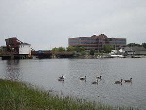 | 1,300 | 1995 | Boston, Milton, and Quincy | |
| 18 | Petapawag | 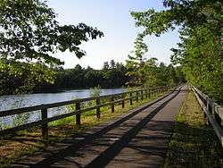 | 25,680 | 2002 | Ayer, Dunstable, Groton, Pepperell, and Tyngsborough | Lower Nashua River and Salmon Brook areas. |
| 19 | Pleasant Bay | | 9,240 | 1987 | Brewster, Chatham, Harwich, and Orleans | |
| 20 | Pocasset River | | 160 | 1980 | Bourne | |
| 21 | Rumney Marshes | | 2,800 | 1988 | Boston, Lynn, Revere, Saugus, and Winthrop | |
| 22 | Sandy Neck Barrier Beach System | | 9,130 | 1978 | Barnstable and Sandwich | |
| 23 | Schenob Brook Drainage Basin | | 13,750 | 1990 | Mount Washington and Sheffield | |
| 24 | Squannassit |  | 37,420 | 2002 | Ashby, Ayer, Groton, Harvard, Lancaster, Lunenburg, Pepperell, Shirley, and Townsend | Squannacook River and Mulpus Brook areas. |
| 25 | Three Mile River Watershed |  | 14,280 | 2008 | Dighton, Norton, Taunton | |
| 26 | Upper Housatonic River | | 12,280 | 2009 | Lee, Lenox, Pittsfield, Washington | |
| 27 | Waquoit Bay | | 2,580 | 1979 | Falmouth and Mashpee | |
| 28 | Weir River |  | 950 | 1986 | Cohasset, Hingham, and Hull | |
| 29 | Wellfleet Harbor | | 12,480 | 1989 | Eastham, Truro, and Wellfleet | |
| 30 | Weymouth Back River |  | 800 | 1982 | Hingham and Weymouth | |
|