West Falmouth Village Historic District
|
West Falmouth Village Historic District | |
|
West Falmouth Library and Quaker Carriage Sheds | |
   | |
| Location | Falmouth, Massachusetts |
|---|---|
| Coordinates | 41°36′5″N 70°38′5″W / 41.60139°N 70.63472°WCoordinates: 41°36′5″N 70°38′5″W / 41.60139°N 70.63472°W |
| Built | 1673 |
| Architect | Bourne, Timothy C.; et al. |
| Architectural style | Mid 19th Century Revival, Federal, Georgian |
| NRHP Reference # | [1] |
| Added to NRHP | April 2, 1998 |

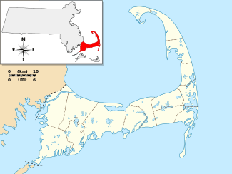
The West Falmouth Village Historic District is a historic district along West Falmouth Highway (Massachusetts Route 28A) in West Falmouth, Massachusetts, which is a village in the town of Falmouth, Massachusetts. The northern end of the historic district is approximately at Bourne Farm, near Thomas Landers Road, extending south along Route 28A through West Falmouth Village to about Garrison Road.[2]
The area was settled in 1673 and added to the National Register of Historic Places in 1998.
Several of the historic buildings in West Falmouth Village are the West Falmouth Library,[3] the Quaker Meeting House and Quaker Carriage Sheds,[4] Emerson House, the West Falmouth Fire Station, and numerous historic houses.
The Shining Sea Bikeway passes close to the center of West Falmouth Village, providing access to the beautiful Great Sippewissett Marsh to the south and the historic 1775 Bourne Farm and cranberry bogs to the north. Chapoquoit Beach, a Falmouth public beach, is also close to the center of West Falmouth Village.[5]
See also
References
- ↑ National Park Service (2008-04-15). "National Register Information System". National Register of Historic Places. National Park Service.
- ↑ Town of Falmouth map of West Falmouth Historic District
- ↑ West Falmouth Library
- ↑ West Falmouth Meeting House, Cape Cod Quakers
- ↑ Town of Falmouth Beach Department
| Topics |  | ||||||||||||||||||||||||||||||
|---|---|---|---|---|---|---|---|---|---|---|---|---|---|---|---|---|---|---|---|---|---|---|---|---|---|---|---|---|---|---|---|
| Lists by county | |||||||||||||||||||||||||||||||
| Lists by city |
| ||||||||||||||||||||||||||||||
| Other lists | |||||||||||||||||||||||||||||||
| |||||||||||||||||||||||||||||||