Upatoi, Georgia
Upatoi is the name of a neighborhood and post office located in the eastern panhandle of Muscogee County, Georgia.[1] Previously an unincorporated community within Muscogee County, Upatoi was annexed by the city of Columbus in 1971 as part of the consolidation of the city and county governments. Though now officially part of Columbus, the Upatoi area has retained its historic name through its post office, which still bears the name Upatoi, Georgia.
History
The original post office was located at the intersection of Upatoi Lane and Jenkins Road. The building was erected shortly after the town was forced to relocate northwards following the expansion of Fort Benning. It once housed a general store and gas station owned and operated by Georgia Gloss (affectionately referred to as "Miss Georgia"), who kept it open until the 1980s. Those growing up in Upatoi in the late 1960s remember the penny candy selection, deli counter and Miss Georgia's home cooked hamburgers made in the back room. Jenkins Road was originally an access road to the antebellum mansion around which was an extensive plantation covering most of the area.[2] Upatoi Lane is one of the last remaining segments of old US 80 to retain its original, concrete pavement from the 1920s. In the 1950s, US 80 was relocated north by 0.5 miles and widened to four lanes in the 1990s.
The Norfolk Southern Railway marks the southern boundary of Upatoi and the northern boundary of Fort Benning. The railroad once provided whistle stop passenger service. Two cotton gins and several warehouses lined the tracks. Immediately adjacent to west of the post office is the Upatoi Chapel, formerly the home of the Upatoi United Methodist Church. The church was originally located inside what is now Fort Benning. Like much of Upatoi, it had to be moved when the military base expanded. The chapel is now available for weddings. Several subdivisions now make up the Upatoi community. Two of the oldest are Woodhaven and Ridgewood Estates. Many older maps use the spelling "Upatoie," for the town as well as the creek, the latter being a boundary between Muscogee and Chattahoochee Counties.
Coordinates: 32°32′56″N 84°44′24″W / 32.54889°N 84.74000°W
References
- ↑ "Google Maps". Google Maps. Retrieved 14 January 2016.
- ↑ "Google Maps". Google Maps. Retrieved 14 January 2016.
Municipalities and communities of Muscogee County, Georgia, United States | ||
|---|---|---|
| Cities | 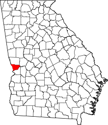 | |
| Neighborhoods |
| |
| Military base | ||
| Central cities/Largest cities | 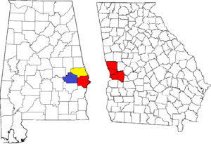 Location of the Columbus, Georgia-Auburn, Alabama CSA and its counties:
Columbus, Georgia Metropolitan Statistical Area
Auburn, Alabama Metropolitan Statistical Area
Tuskegee, Alabama Micropolitan Statistical Area (defunct) | |
|---|---|---|
| Cities in Georgia | ||
| Cities in Alabama | ||
| Counties in Georgia | ||
| Counties in Alabama | ||