Udall, Missouri
| Udall, Missouri | |
|---|---|
| Community | |
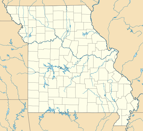 Udall, Missouri Location of Udall, Missouri | |
| Coordinates: 36°32′33″N 92°15′45″W / 36.54250°N 92.26250°WCoordinates: 36°32′33″N 92°15′45″W / 36.54250°N 92.26250°W[1] | |
| Country | U. S. A. |
| State | Missouri |
| County | Ozark County |
| Elevation[1] | 250 m (820 ft) |
| Time zone | CST (UTC-6) |
| • Summer (DST) | CDT (UTC-5) |
Udall is an unincorporated community in Ozark County in southern Missouri about twelve miles southeast of Gainesville and eight miles west of Bakersfield on Missouri Route O. One and a half miles west of Udall the road ends at a park and landing on Norfork Lake.[1]
History
An early variant name was "Saint Leger".[2] A post office called Saint Leger was established in 1848, the name was changed to Udall in 1885, and the post office closed in 2003.[3] According to legend, the present name Udall is a contraction of "You doll, get up", a command, the story continues, was once overheard directed at a horse.[2]
References
- 1 2 3 Udall Quadrangle, Missouri–Ozark County, 7.5 Minute Series, USGS, 1968
- 1 2 "Ozark County Place Names, 1928–1945". The State Historical Society of Missouri. Archived from the original on June 24, 2016. Retrieved November 27, 2016.
- ↑ "Post Offices". Jim Forte Postal History. Retrieved 27 November 2016.
Municipalities and communities of Ozark County, Missouri, United States | ||
|---|---|---|
| Cities | 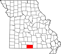 | |
| Villages | ||
| Townships |
| |
| CDPs | ||
| Other unincorporated communities | ||
| Ghost towns | ||
This article is issued from Wikipedia - version of the 11/28/2016. The text is available under the Creative Commons Attribution/Share Alike but additional terms may apply for the media files.