Isabella, Missouri
| Isabella, Missouri | |
|---|---|
| Community | |
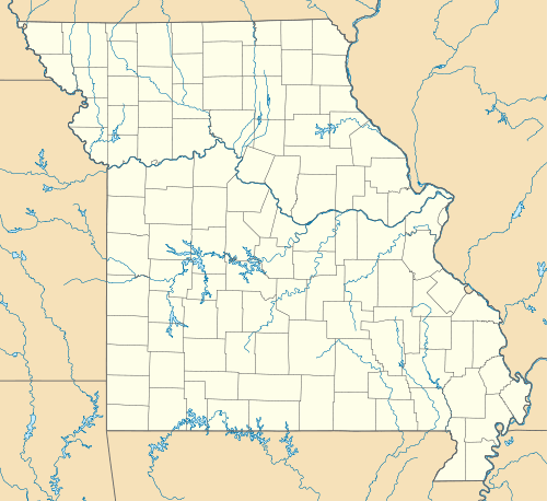 Isabella, Missouri Location of Isabella, Missouri | |
| Coordinates: 36°34′51″N 92°36′46″W / 36.58083°N 92.61278°WCoordinates: 36°34′51″N 92°36′46″W / 36.58083°N 92.61278°W[1][2] | |
| Country | U. S. A. |
| State | Missouri |
| County | Ozark County |
| Elevation[2] | 292 m (958 ft) |
| Time zone | CST (UTC-6) |
| • Summer (DST) | CDT (UTC-5) |
Isabella is a small, unincorporated community in Ozark County, Missouri. It is located about thirteen miles west of Gainesville and two miles east of Theodosia and Bull Shoals Lake along U.S. Highway 160.[3] Although it is unincorporated, Isabella has a post office with the ZIP code 65676.[4]
A post office called Isabella has been in operation since 1856.[5] An early postmaster gave the community the name of his daughter, Isabella Brattin.[6]
References
- ↑ Geographic Names Information System GNIS
- 1 2 Isabella, Missouri, 7.5 Minute Topographic Quadrangle, USGS, 2004
- ↑ Ava, Missouri, 30x60 Minute Topographic Quad, USGS, 2002
- ↑ Ozark County Post Offices
- ↑ "Post Offices". Jim Forte Postal History. Retrieved 27 November 2016.
- ↑ "Ozark County Place Names, 1928–1945". The State Historical Society of Missouri. Archived from the original on June 24, 2016. Retrieved November 27, 2016.
Municipalities and communities of Ozark County, Missouri, United States | ||
|---|---|---|
| Cities | 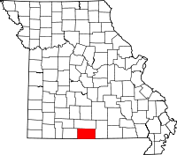 | |
| Villages | ||
| Townships |
| |
| CDPs | ||
| Other unincorporated communities | ||
| Ghost towns | ||
This article is issued from Wikipedia - version of the 11/28/2016. The text is available under the Creative Commons Attribution/Share Alike but additional terms may apply for the media files.