Ubay Airport
| Ubay Airport Paliparan ng Bayan ng Ubay Tugpahanan sa Lungsod sa Ubay | |||||||||||
|---|---|---|---|---|---|---|---|---|---|---|---|
 | |||||||||||
|
IATA: none – ICAO: | |||||||||||
| Summary | |||||||||||
| Airport type | Public | ||||||||||
| Operator | Civil Aviation Authority of the Philippines | ||||||||||
| Serves | Ubay, Bohol | ||||||||||
| Location | Barangay Camambugan, Ubay, Bohol | ||||||||||
| Elevation AMSL | 2 m / 7 ft | ||||||||||
| Coordinates | 10°03′29″N 124°25′27″E / 10.0581°N 124.4242°ECoordinates: 10°03′29″N 124°25′27″E / 10.0581°N 124.4242°E | ||||||||||
| Runways | |||||||||||
| |||||||||||
Ubay Airport (Filipino: Paliparan ng Bayan ng Ubay, Cebuano: Tugpahanan sa Lungsod sa Ubay) (ICAO: RPSN, formerly RPBY) is an airport serving the general area of Ubay, in the northeastern part of the island province of Bohol in the Philippines. The airport has no scheduled service, nor any facilities.
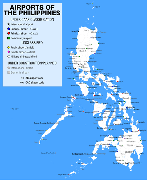
It is one of two airports in Bohol, the other being Tagbilaran Airport. The 54 hectares (130 acres) airport is classified as a feeder airport by the Civil Aviation Authority of the Philippines, an attached agency of the Department of Transportation and Communications that is responsible for the operations of not only this airport but also of all other airports in the Philippines except the major international airports.[3]
Ubay Airport was originally built by the Americans before World War II, used during the war, and since then by light planes only.[3]
Three Bohol congressmen, Erico B. Aumentado, Arthur C. Yap and Rene L. Relampagos, united to promote the development of the Ubay Airport in order to accommodate commercial domestic and aviation training flights. In 2010, they filed House Bill No. 2437 which asserted that "the airport, once upgraded, can accommodate domestic flights to spur tourism, commerce and industry in the Northeastern Corridor of Bohol and balance the economic development in the province which is heavily tilted to Tagbilaran City and Panglao Island." The surrounding flat rural terrain would be ideal for airport expansion and allow the runway to be extended even up to 3,000 metres (9,800 ft).[3]
References
- ↑ Airport information for RPBY at World Aero Data. Data current as of October 2006.Source: DAFIF.
- ↑ Airport information for RPBY at Great Circle Mapper. Source: DAFIF (effective October 2006).
- 1 2 3 "Bohol Solons for Ubay Airport Development". The Bohol Standard. Tagbilaran City, Bohol. 8 (311). August 15, 2010. Retrieved 17 December 2013.