Itbayat Airport
| Itbayat Airport Paliparan ng Itbayat Pagtayaban ti Itbayat | |||||||||||
|---|---|---|---|---|---|---|---|---|---|---|---|
| IATA: ITB – ICAO: RPLT | |||||||||||
| Summary | |||||||||||
| Airport type | Public | ||||||||||
| Operator | Civil Aviation Authority of the Philippines | ||||||||||
| Serves | Itbayat, Batanes | ||||||||||
| Elevation AMSL | 328 ft / 100 m | ||||||||||
| Coordinates | 20°43′01″N 121°49′01″E / 20.71694°N 121.81694°ECoordinates: 20°43′01″N 121°49′01″E / 20.71694°N 121.81694°E | ||||||||||
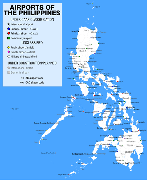
| Map | |||||||||||
.svg.png) ITB/RPLT Location in the Philippines | |||||||||||
| Runways | |||||||||||
| |||||||||||
Itbayat Airport (Filipino: Paliparan ng Itbayat, Ilocano: Pagtayaban ti Itbayat) (ICAO: RPLT) is an airport serving the general area of Itbayat, located in the province of Batanes in the Philippines. It is the only airport serving Itbayat Island and one of two airports in the Batanes Islands chain, the other being Basco Airport in the provincial capital, Basco. The airport is classified as a community airport by the Civil Aviation Authority of the Philippines (CAAP), a body of the Department of Transportation and Communications that is responsible for the operations of not only this airport but also of all other airports in the Philippines except the major international airports.
Airlines and destinations
| Airlines | Destinations |
|---|---|
| Northsky Air | Basco, Tuguegarao[1] |
References
See also
This article is issued from Wikipedia - version of the 12/4/2016. The text is available under the Creative Commons Attribution/Share Alike but additional terms may apply for the media files.