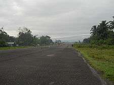
Allah Valley Airport
| Allah Valley Airport | |||||||||||
|---|---|---|---|---|---|---|---|---|---|---|---|
 | |||||||||||
| IATA: AAV – ICAO: RPMA | |||||||||||
| Summary | |||||||||||
| Airport type | public | ||||||||||
| Operator | Civil Aviation Authority of the Philippines | ||||||||||
| Serves | Surallah, South Cotabato | ||||||||||
| Elevation AMSL | 600 ft / 183 m | ||||||||||
| Coordinates | 6°22′3.97″N 124°45′9.08″E / 6.3677694°N 124.7525222°ECoordinates: 6°22′3.97″N 124°45′9.08″E / 6.3677694°N 124.7525222°E | ||||||||||
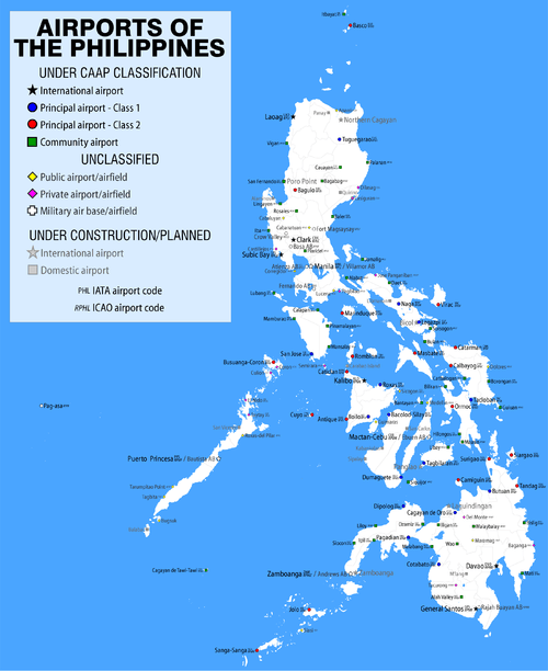
| Map | |||||||||||
.svg.png) AAV Location of airport in the Philippines | |||||||||||
| Runways | |||||||||||
| |||||||||||
Allah Valley Airport (IATA: AAV, ICAO: RPMA) is an airport serving the general area of Allah Valley, located in Surallah, South Cotabato, in the Philippines.[1][2] There are currently no scheduled flights serving this airport.
Although the airport is officially named "Allah Valley Airport" by the Civil Aviation Authority of the Philippines, some sources use the name "Alah Airport", although this is unofficial.[3][4]
The airport is classified by the Civil Aviation Authority of the Philippines as a community airport.[5]
References
- ↑ "Allah Valley Airport (AAV)". World Airport Codes. Retrieved 22 May 2014.
- ↑ "Information of Allah Valley Airport". Airport-Data.com. Retrieved 22 May 2014.
- ↑ "(AAV) Alah Airport Overview". FlightStats Inc. Retrieved 27 May 2014.
- ↑ "International Airport Code Listing IATA and ICAO codes for airports". Airport Arrivals International. Retrieved 27 May 2014. Note that IATA Official Website correctly names the airport "Allah Valley".
- ↑ "Airport Directory". Civil Aviation Authority of the Philippines. December 5, 2013. Retrieved 22 May 2014.
This article is issued from Wikipedia - version of the 12/4/2016. The text is available under the Creative Commons Attribution/Share Alike but additional terms may apply for the media files.